
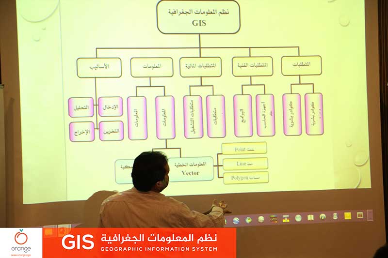
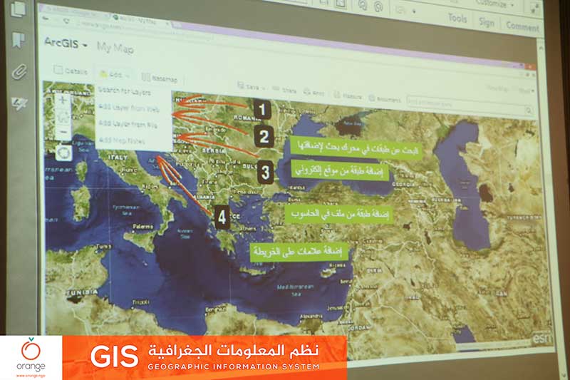
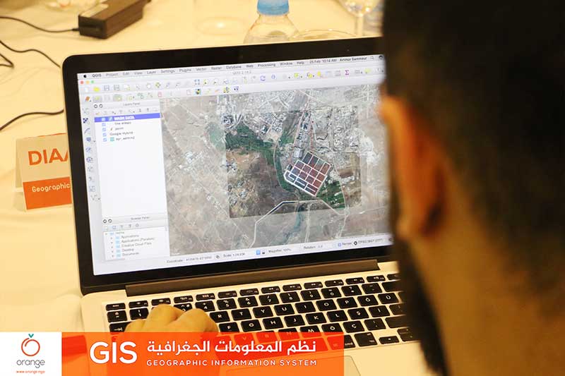
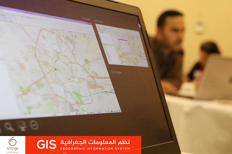
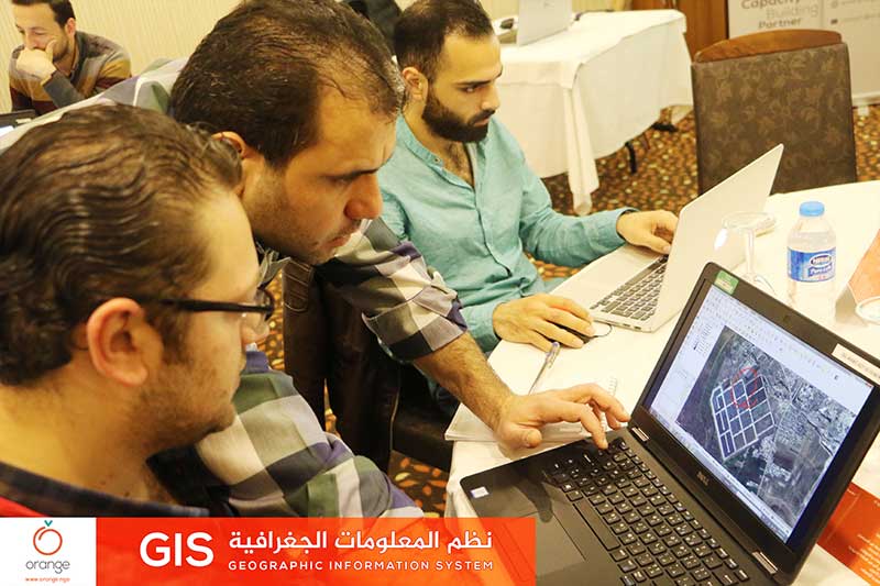
Interactive data maps are all about details of the project and explore its positions, to achieve accurate transfer of these details to donors and beneficiaries.
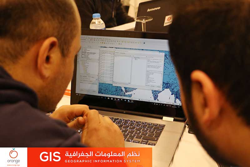
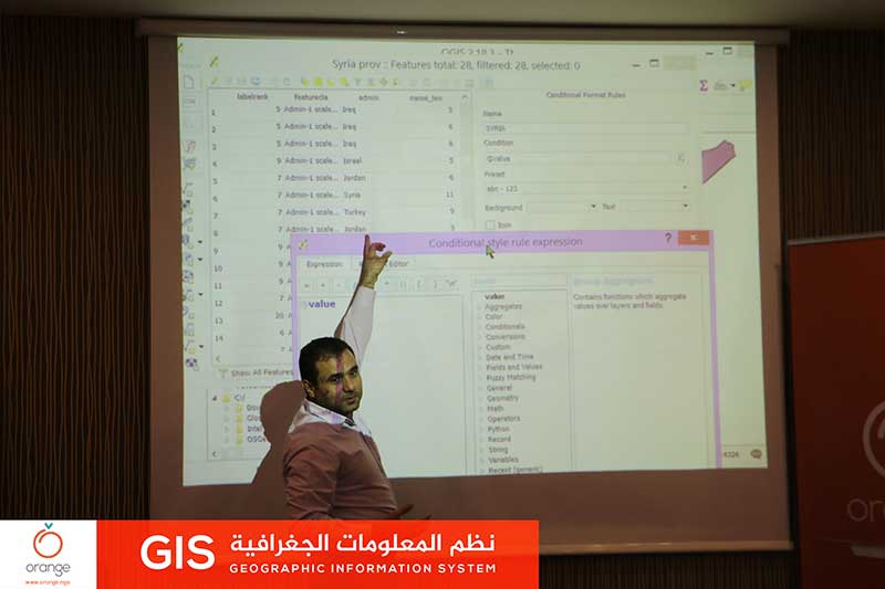
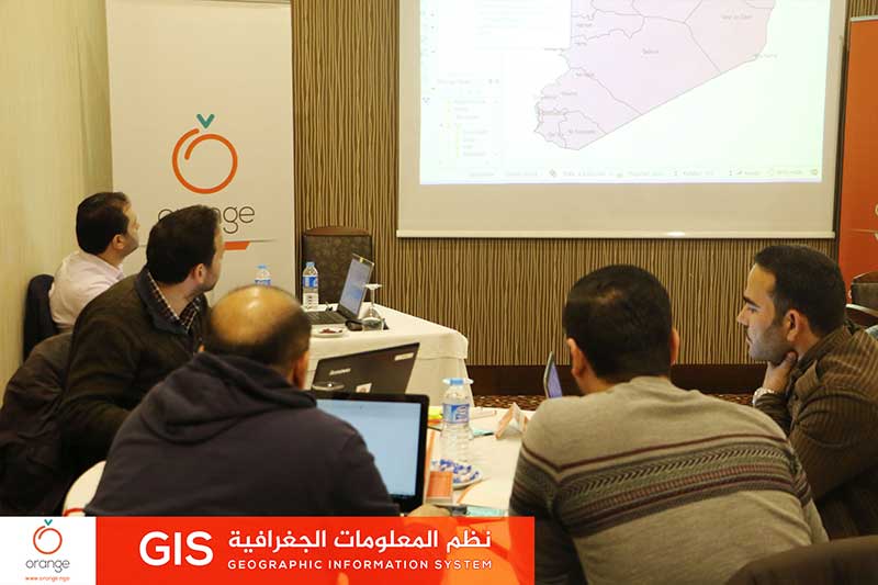
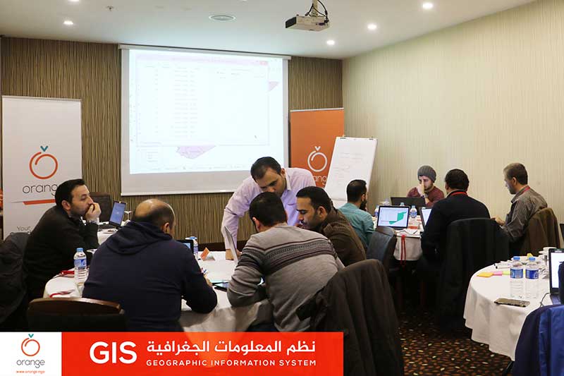
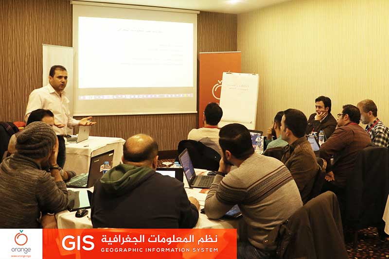
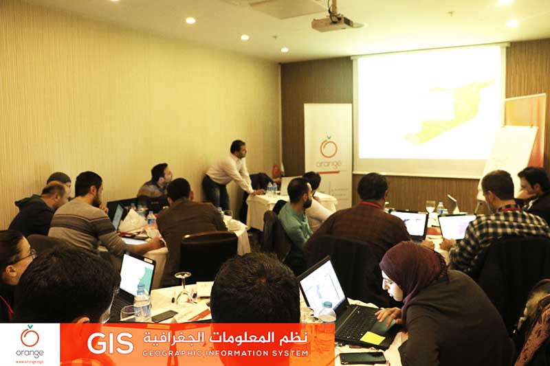
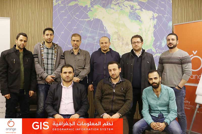
Today “Orange” concluded a training program entitled “GIS”, which discussed the means of GPS and its application in project planning. This training was through 3 days, with participation of 14 trainees in Gaziantep, Turkey.


Recent Comments