
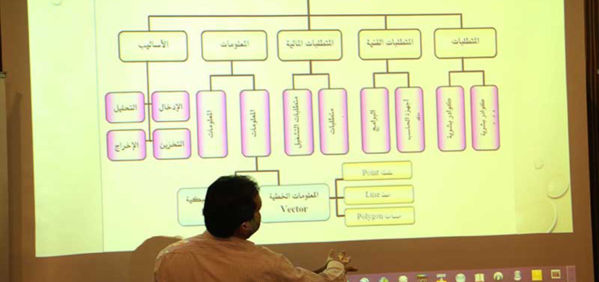
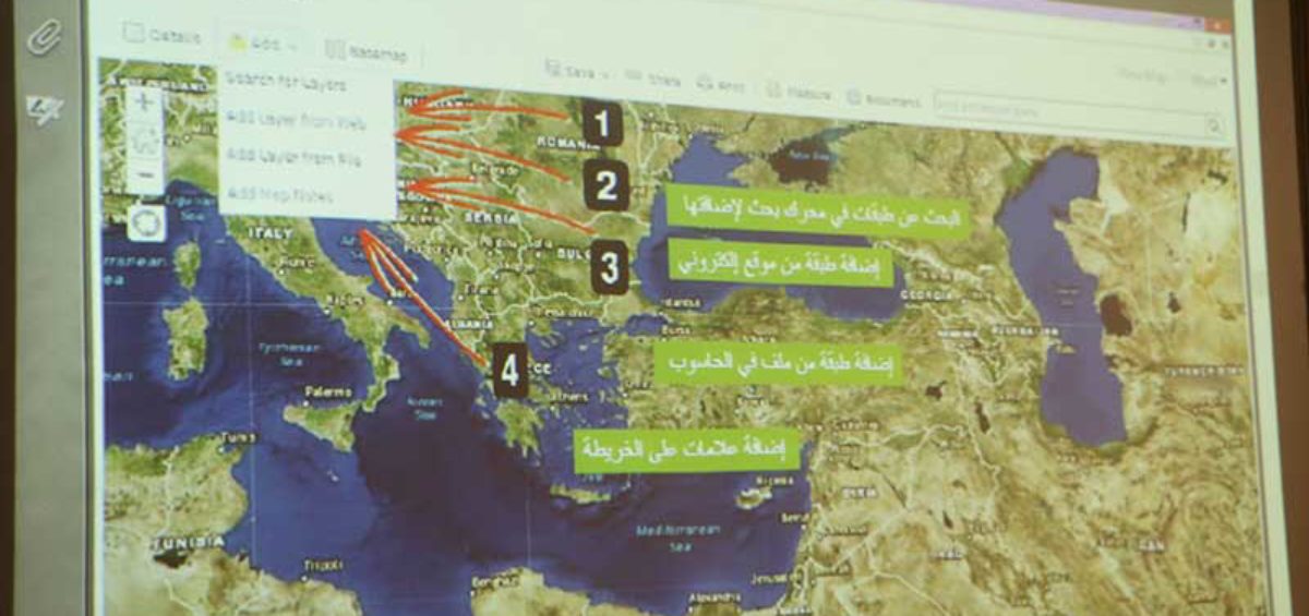
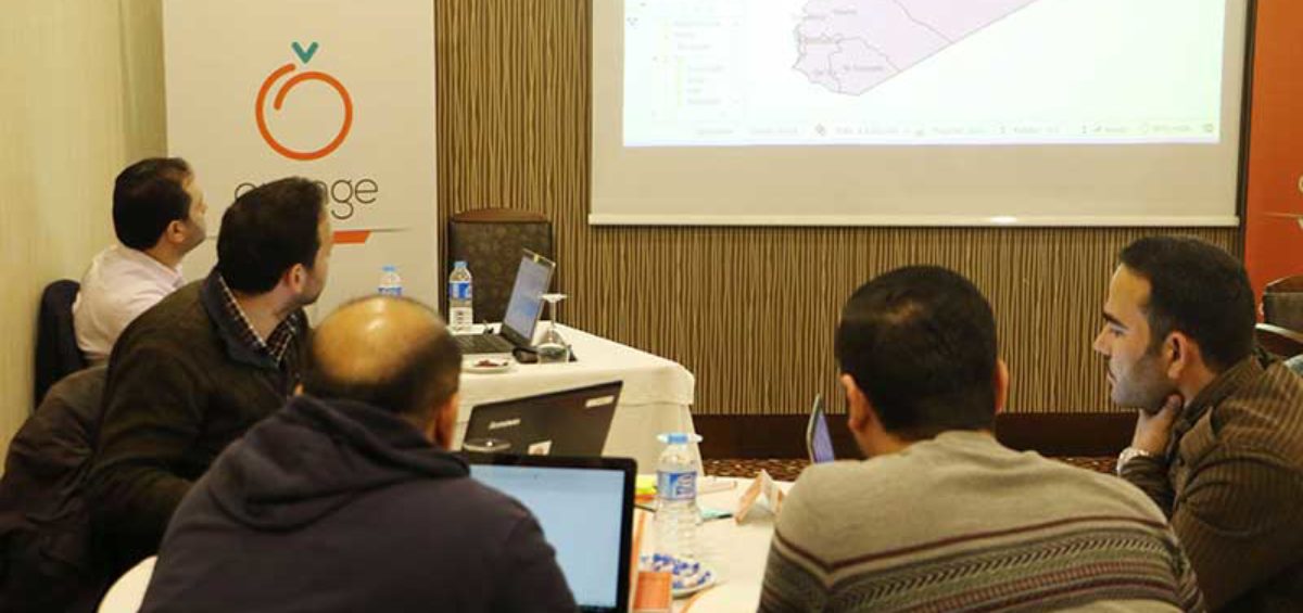
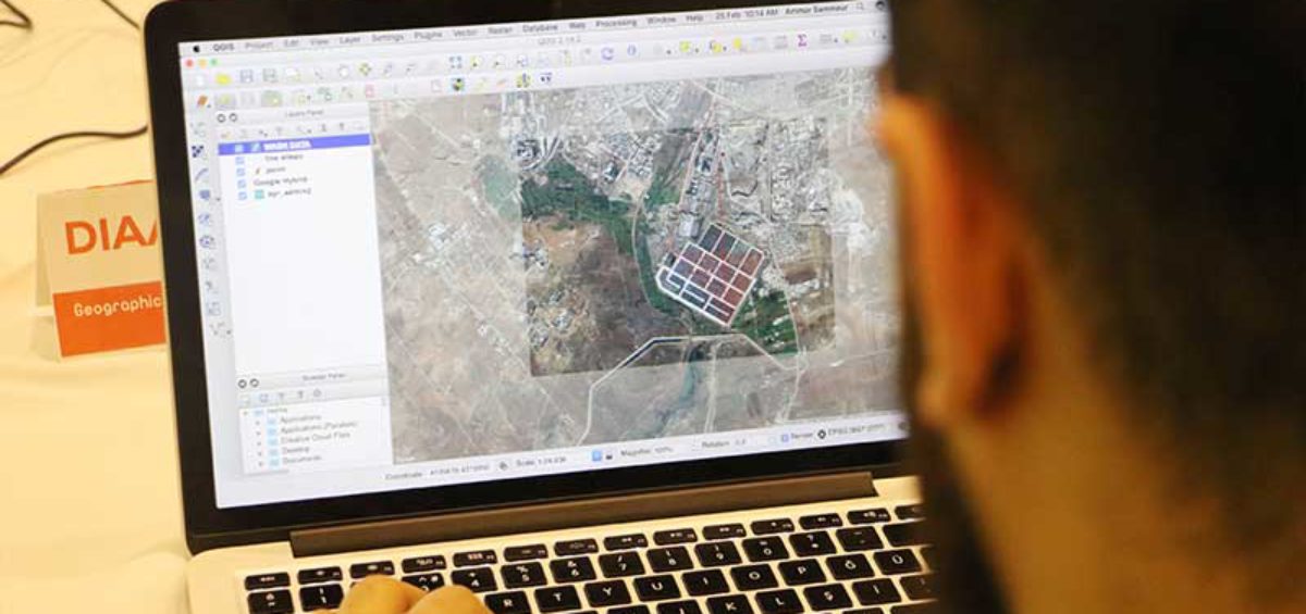
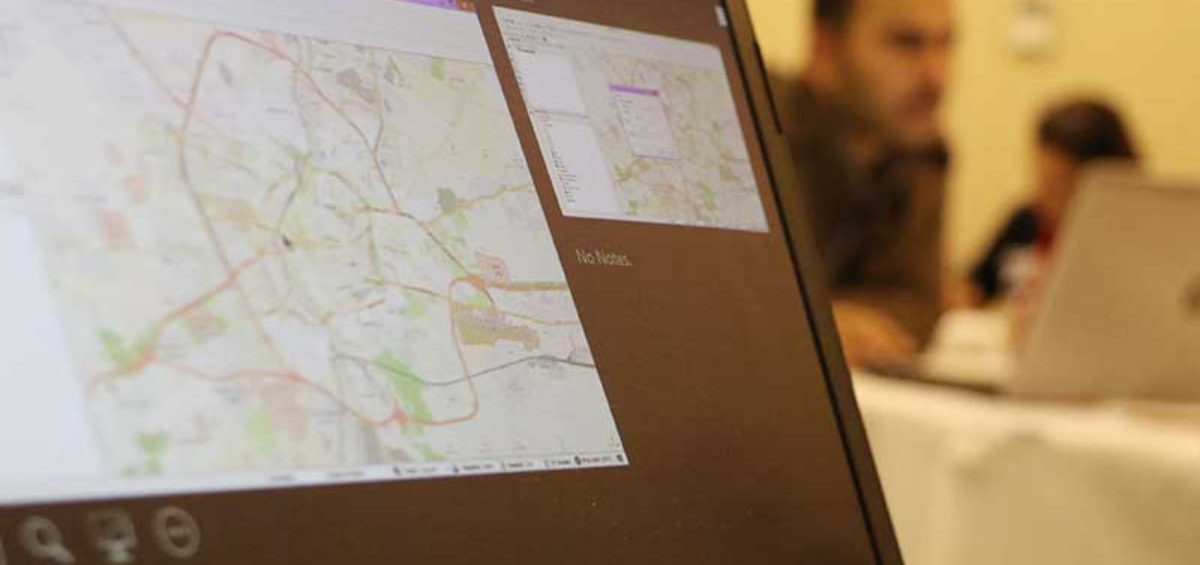
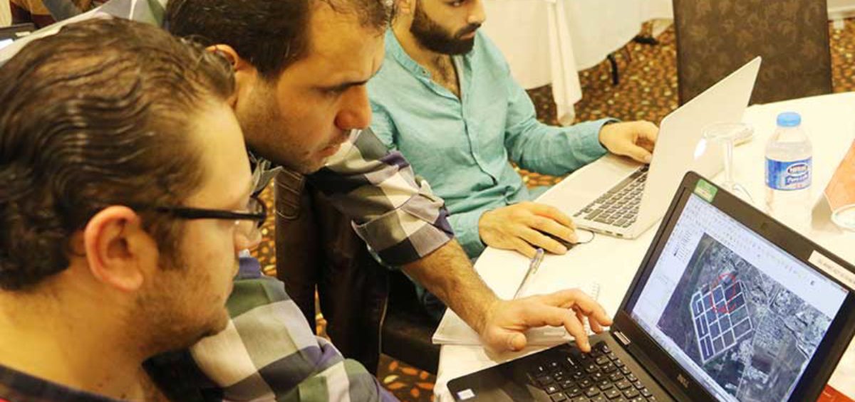

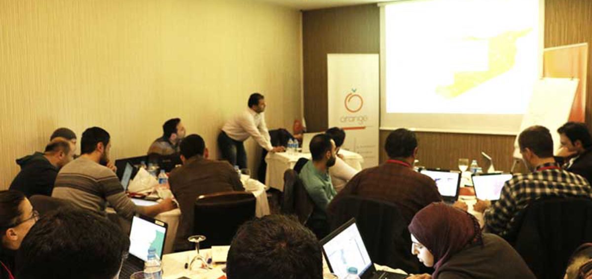
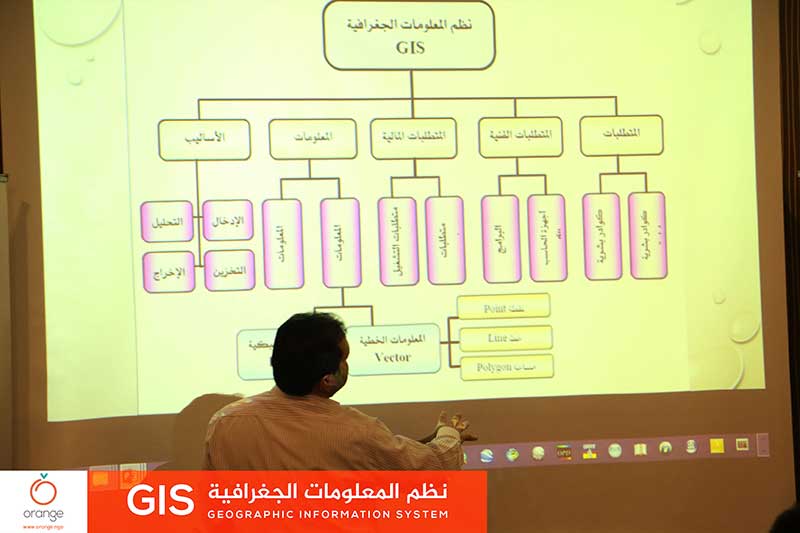
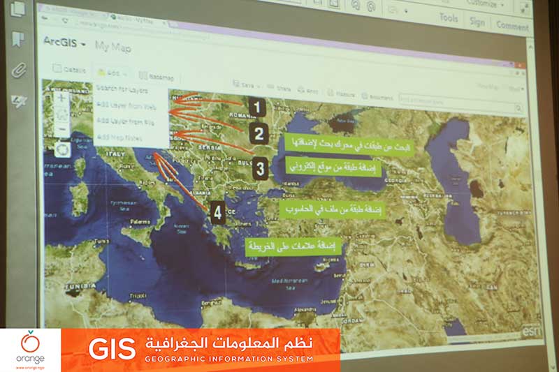
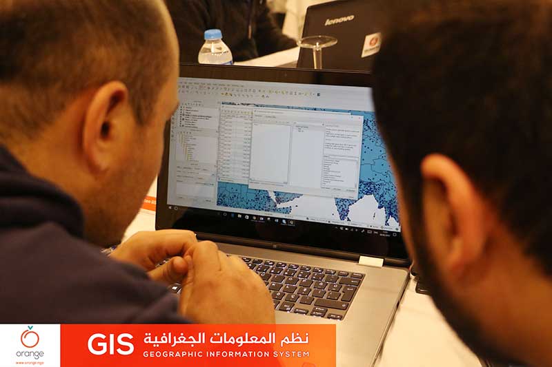
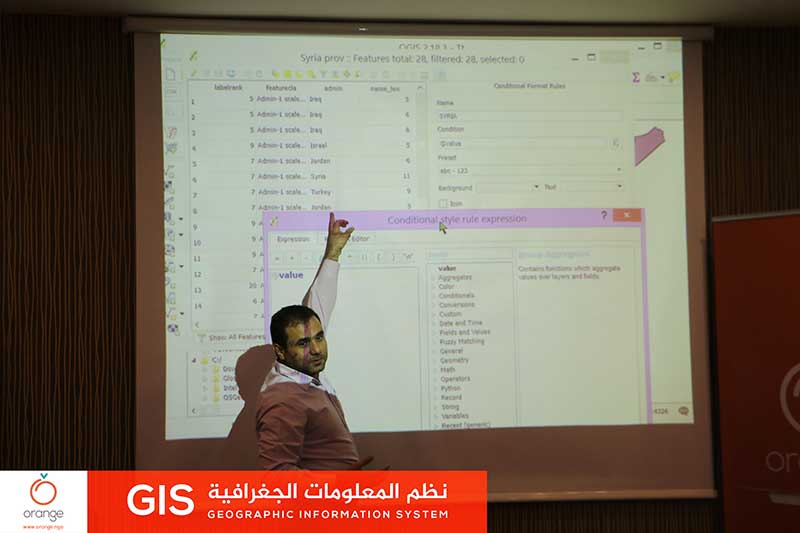
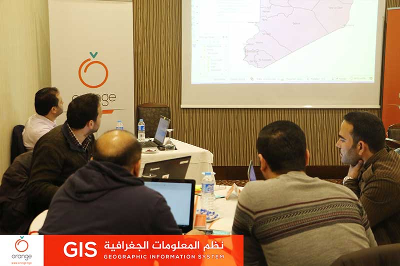
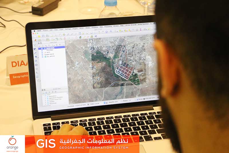
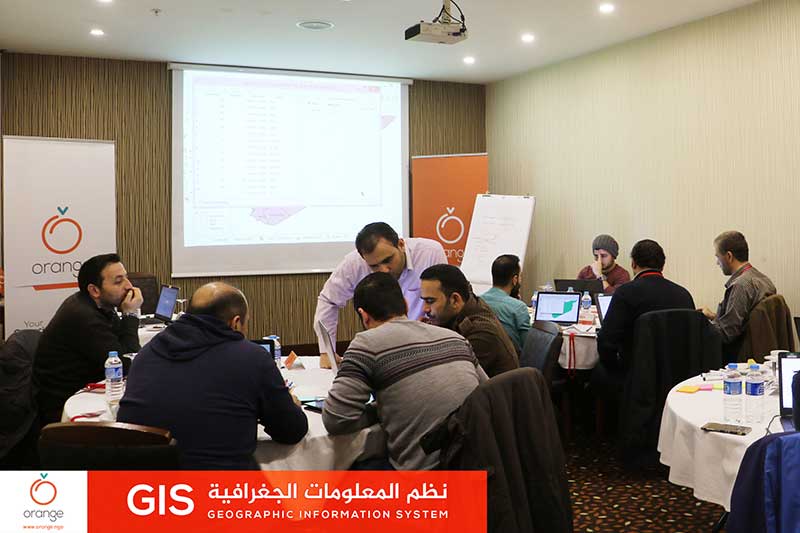
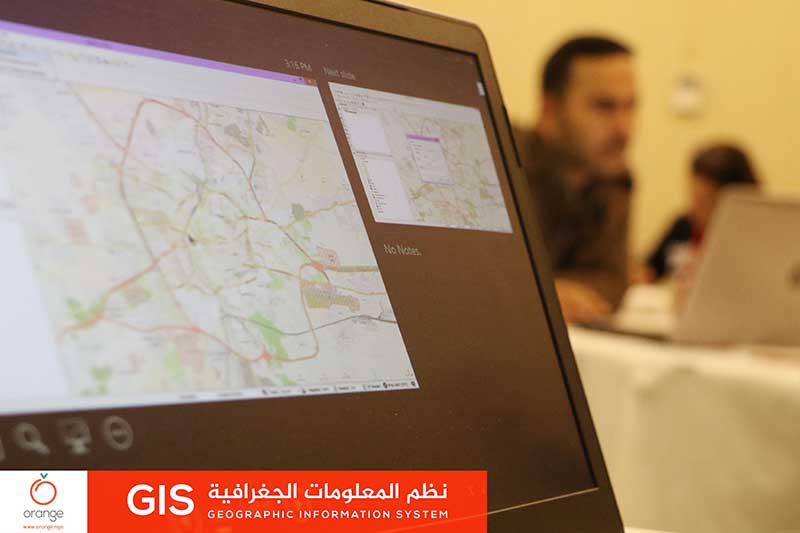
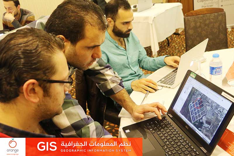
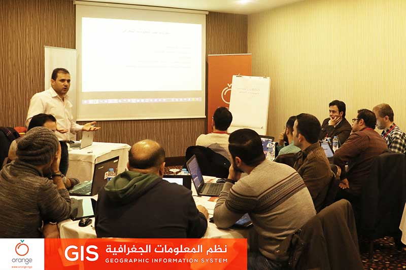
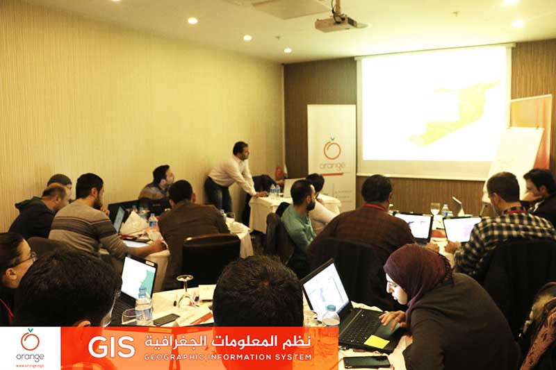
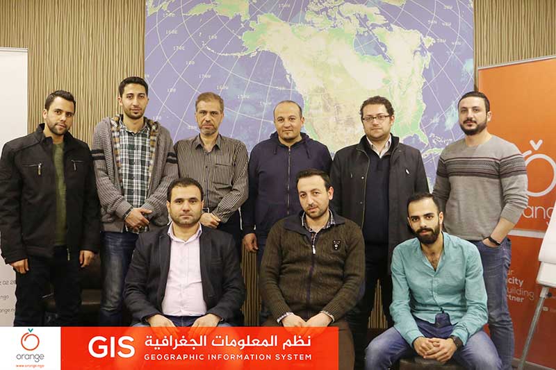
Interactive data maps are all about details of the project and explore its positions, to achieve accurate transfer of these details to donors and beneficiaries. Today “Orange” concluded a training program entitled “GIS”, which discussed the means of GPS and its application in project planning. This training was through 3 days, with participation of 14Read more
News
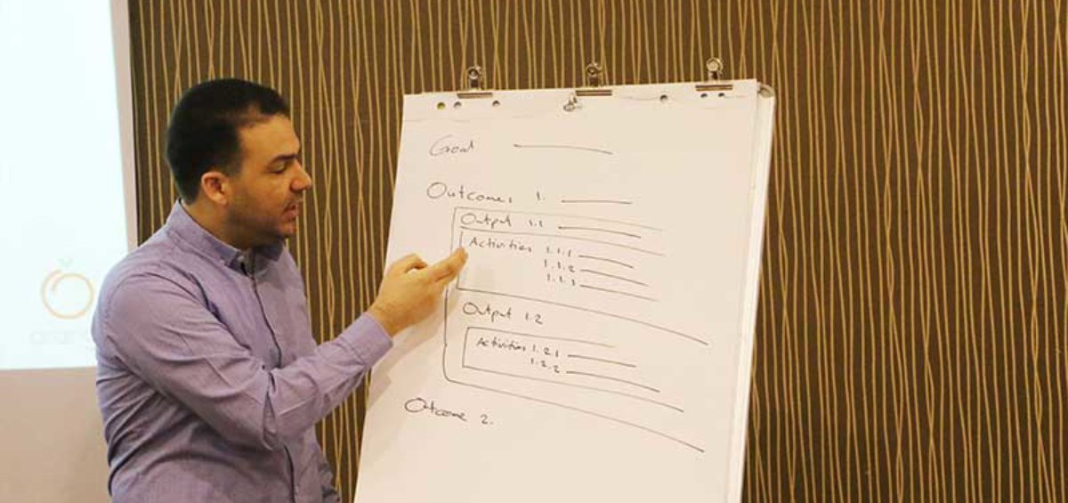
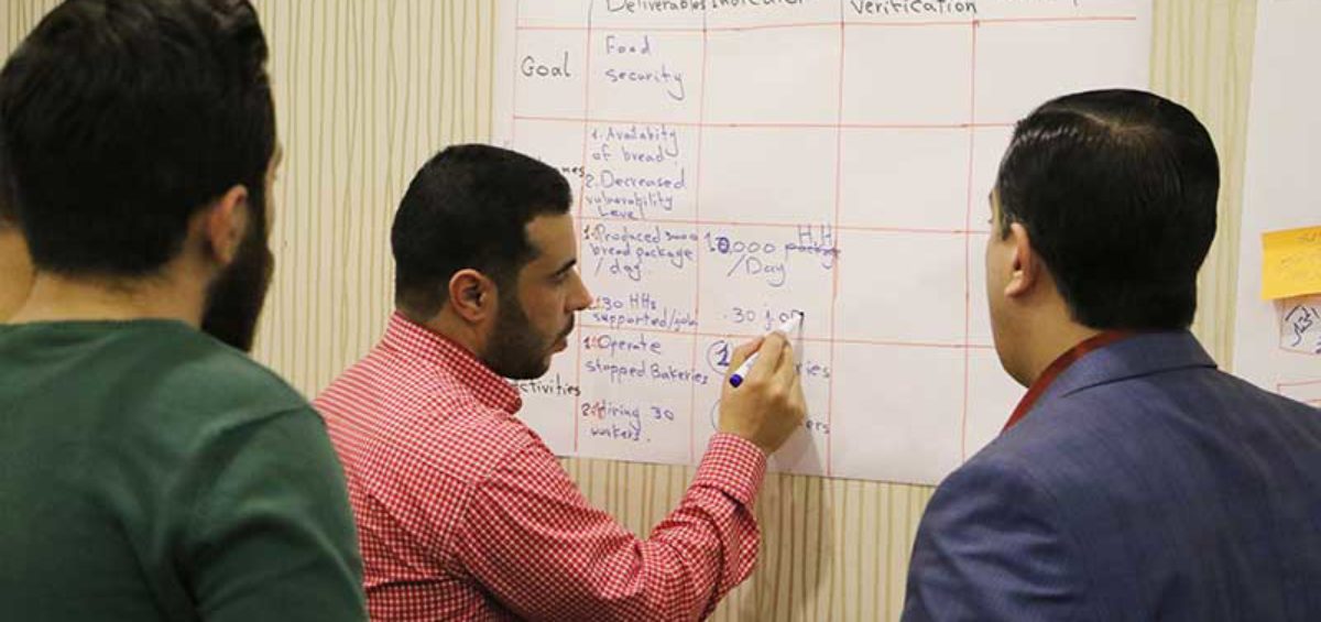
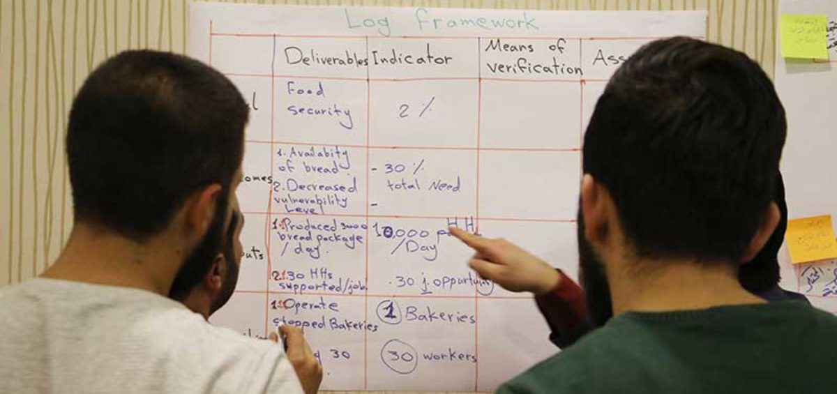

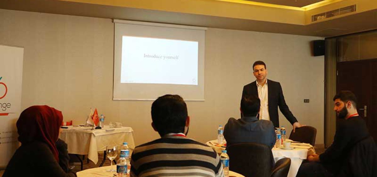
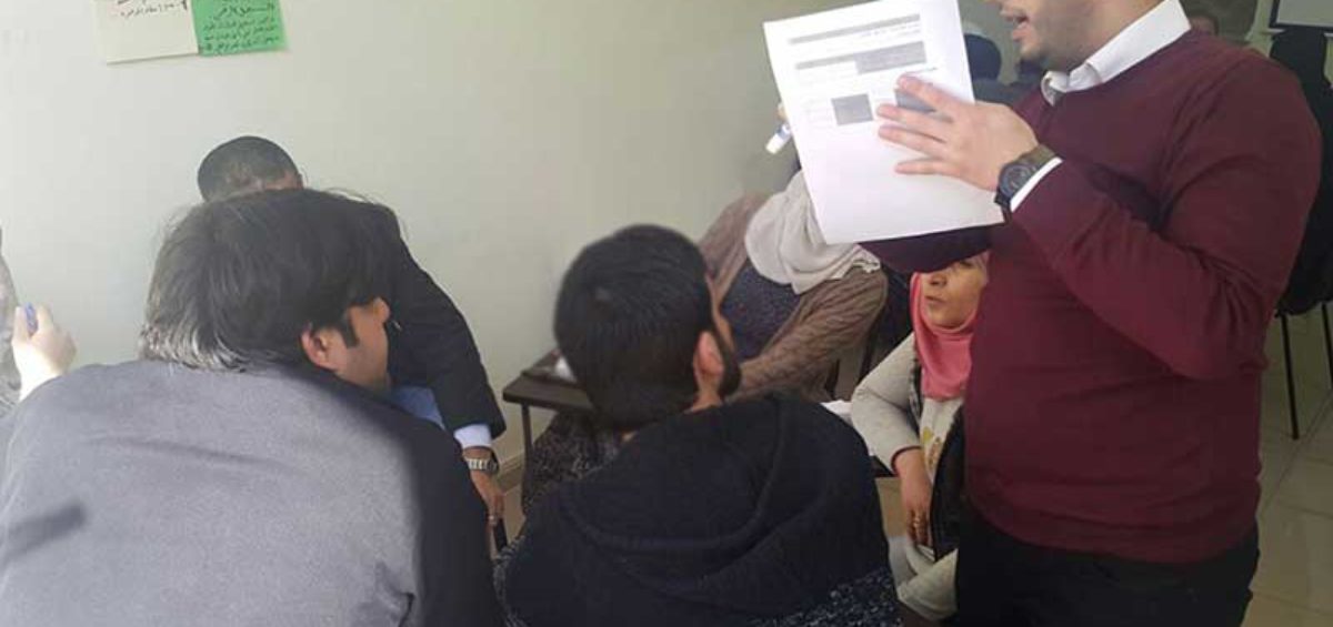
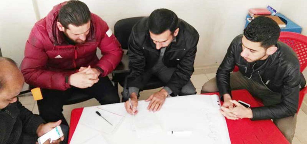
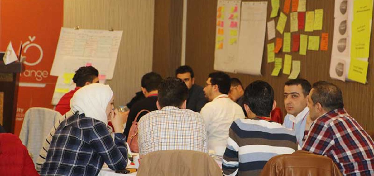
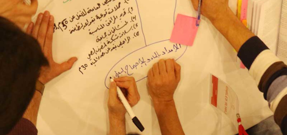
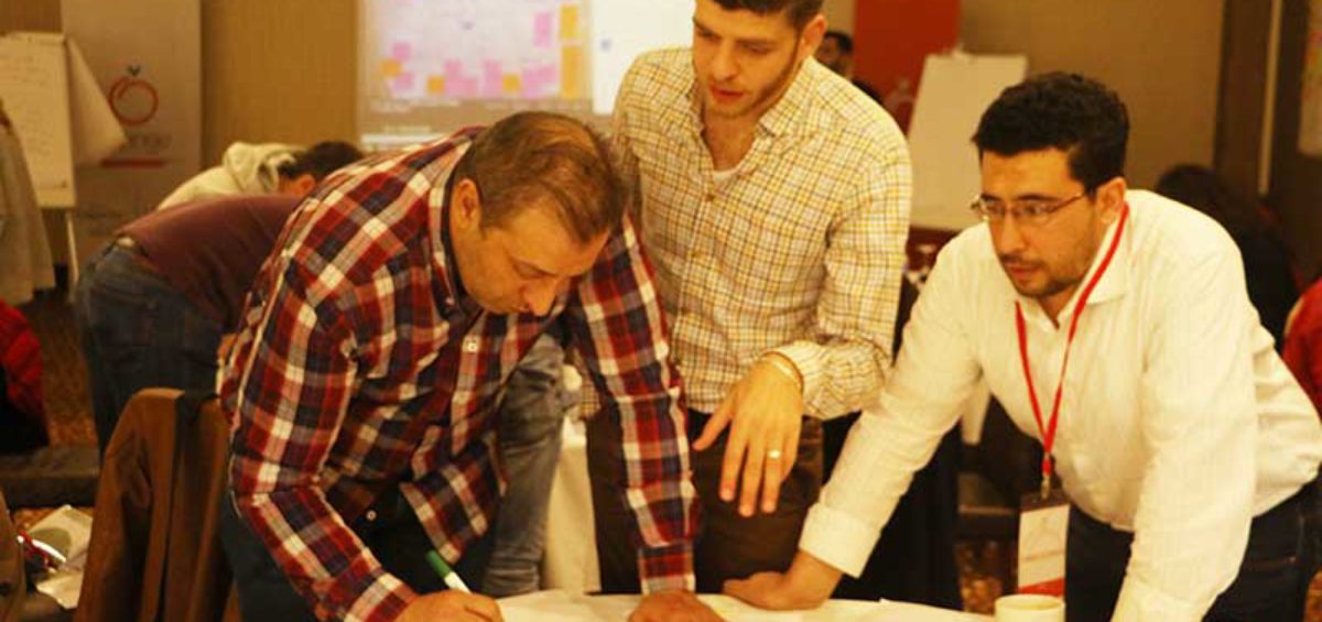
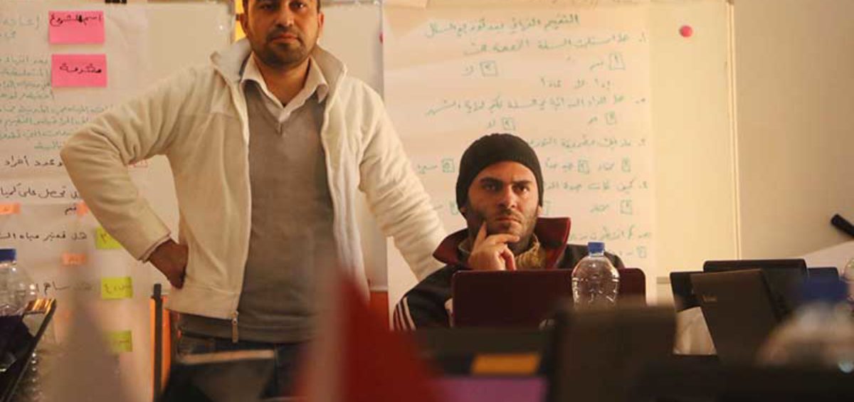
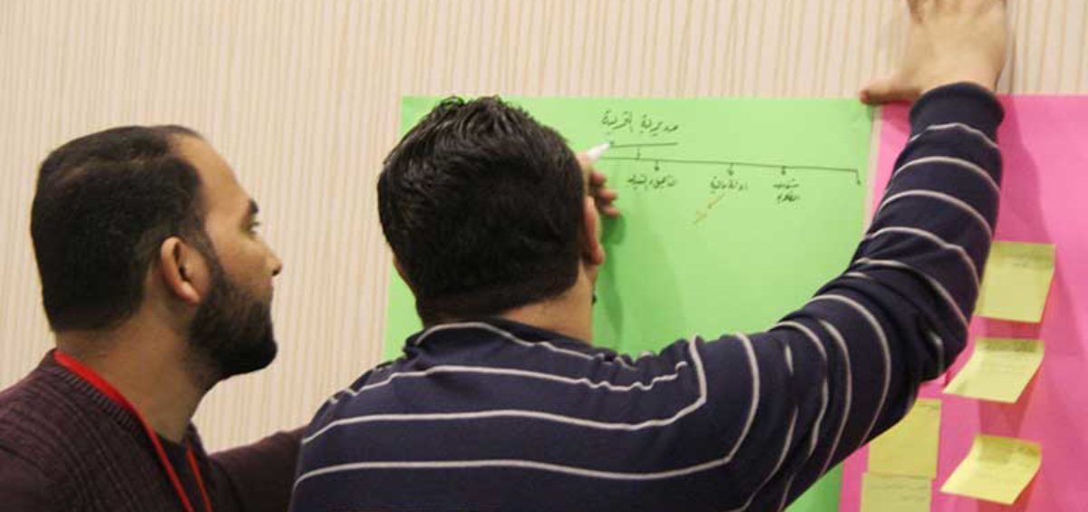
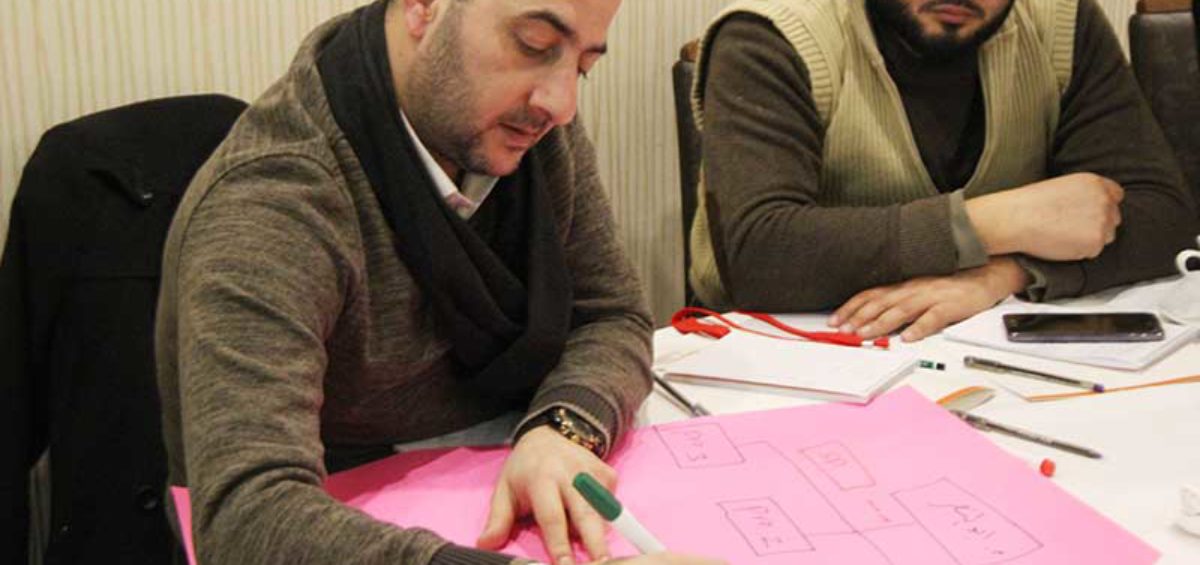
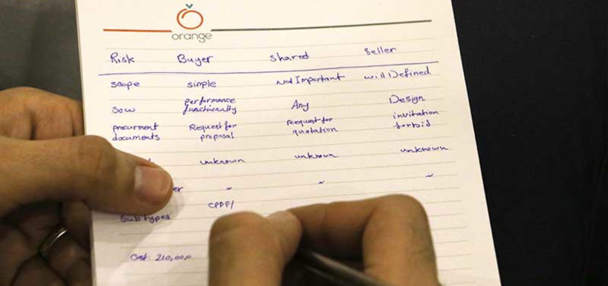
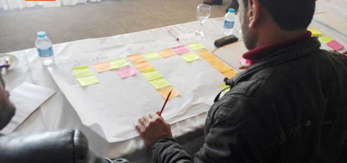
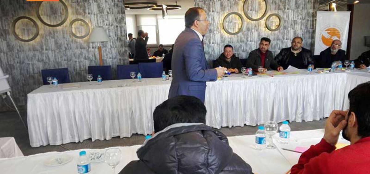
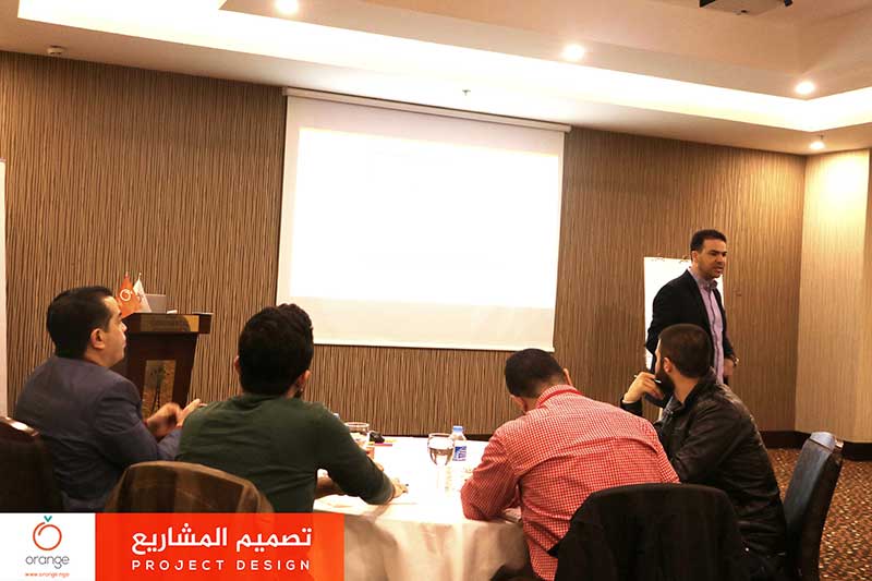
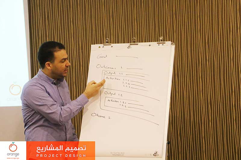
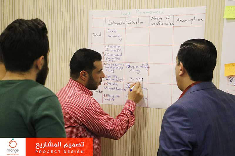
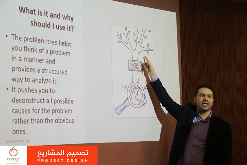
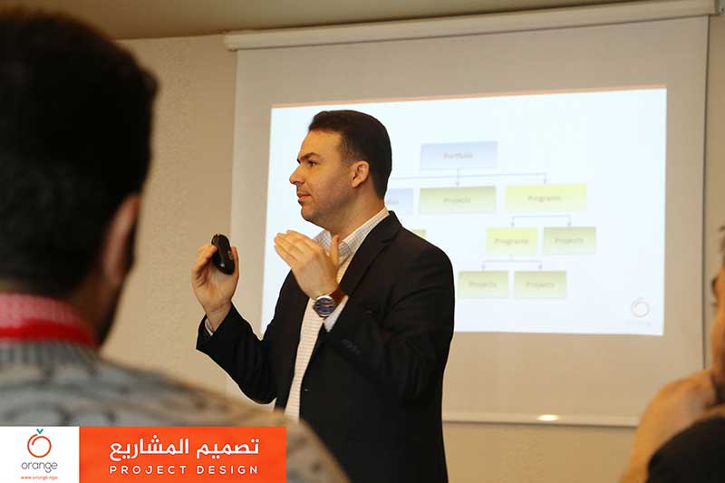
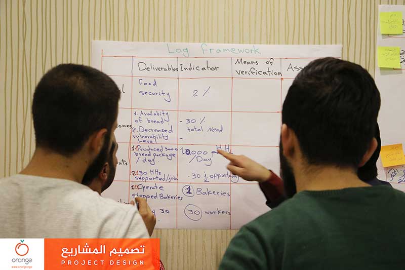
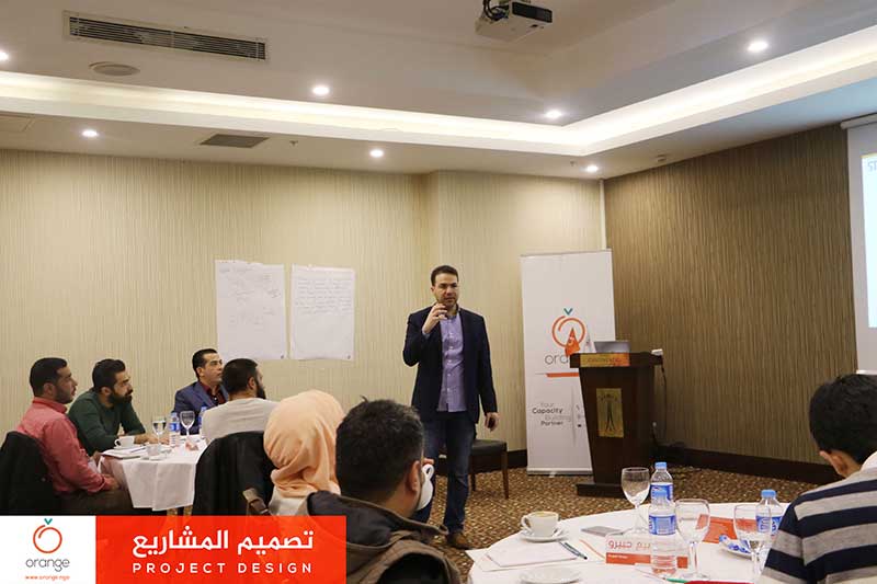
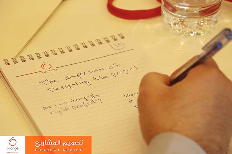
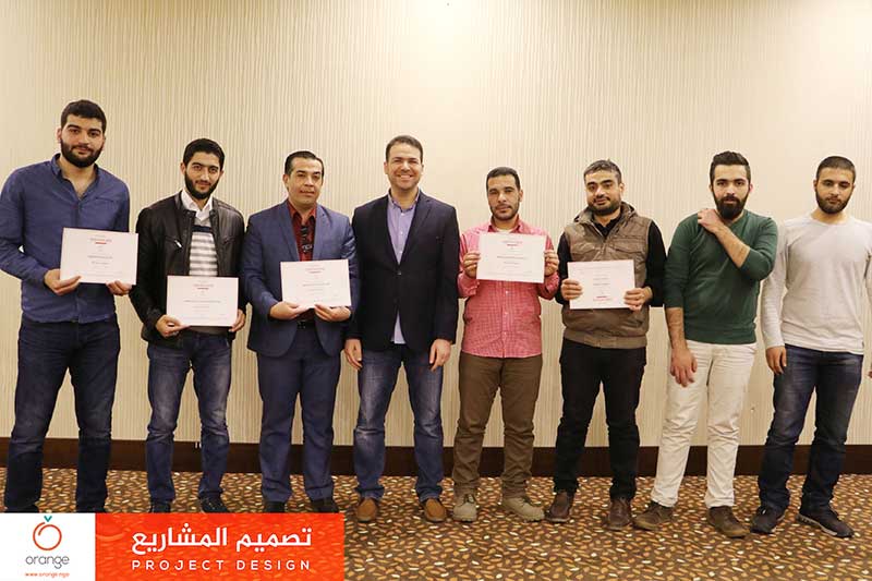
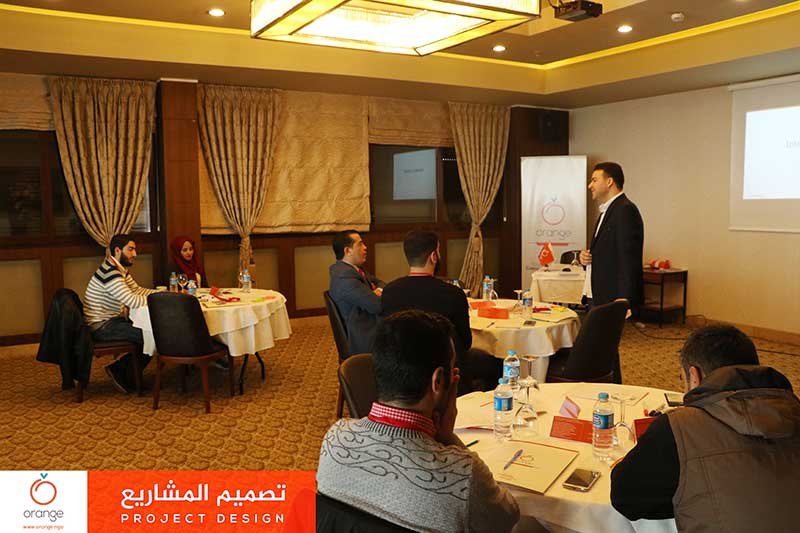
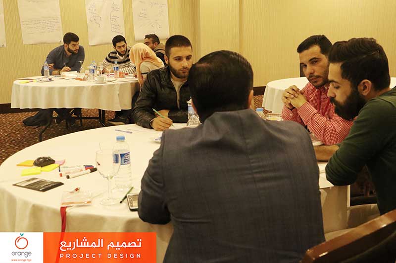
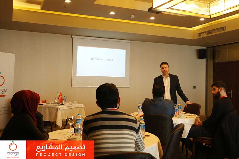
Because the project design is a cornerstone underpinning all stages of the project to build, manage and implement and to achieve the desired results. And to raise humanitarian workers staff efficiency. Yesterday “Orange” concluded a training program “Project Design”, which aimed to discuss all the ways necessary to design and plan for any project, inRead more
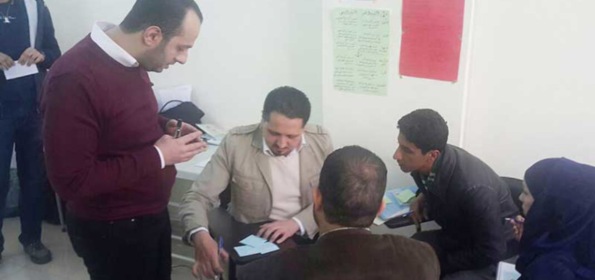

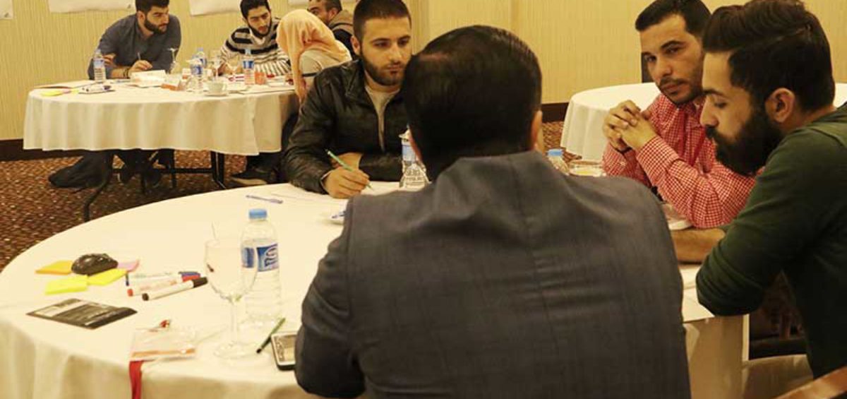
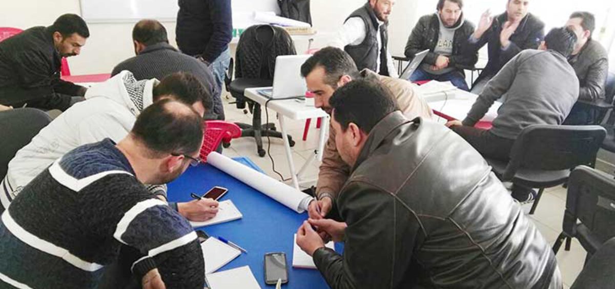
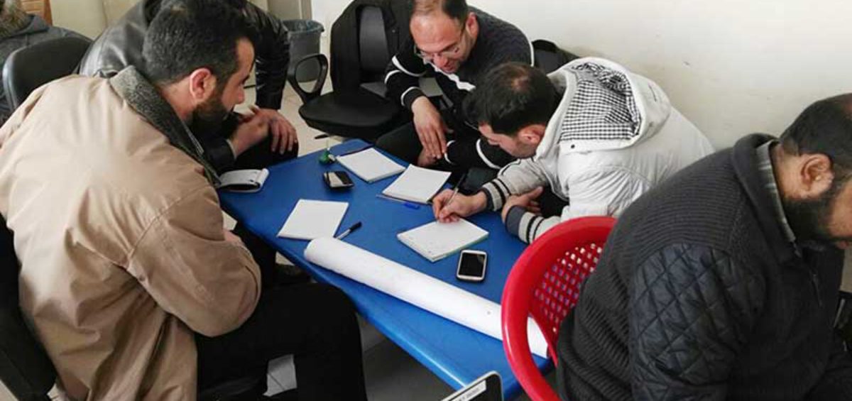
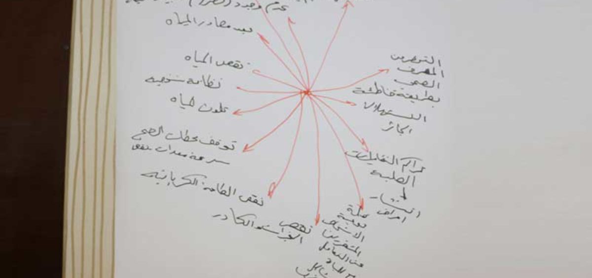
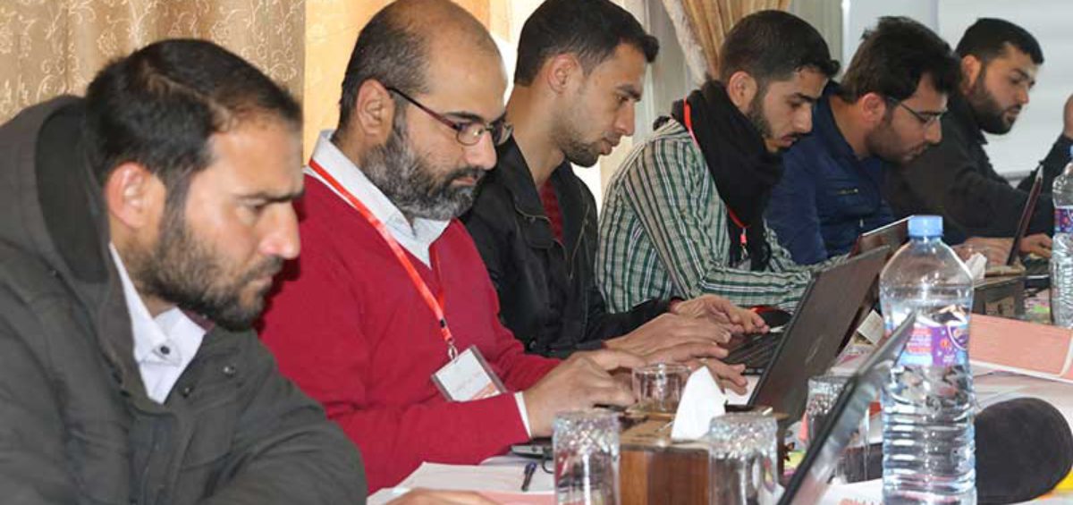
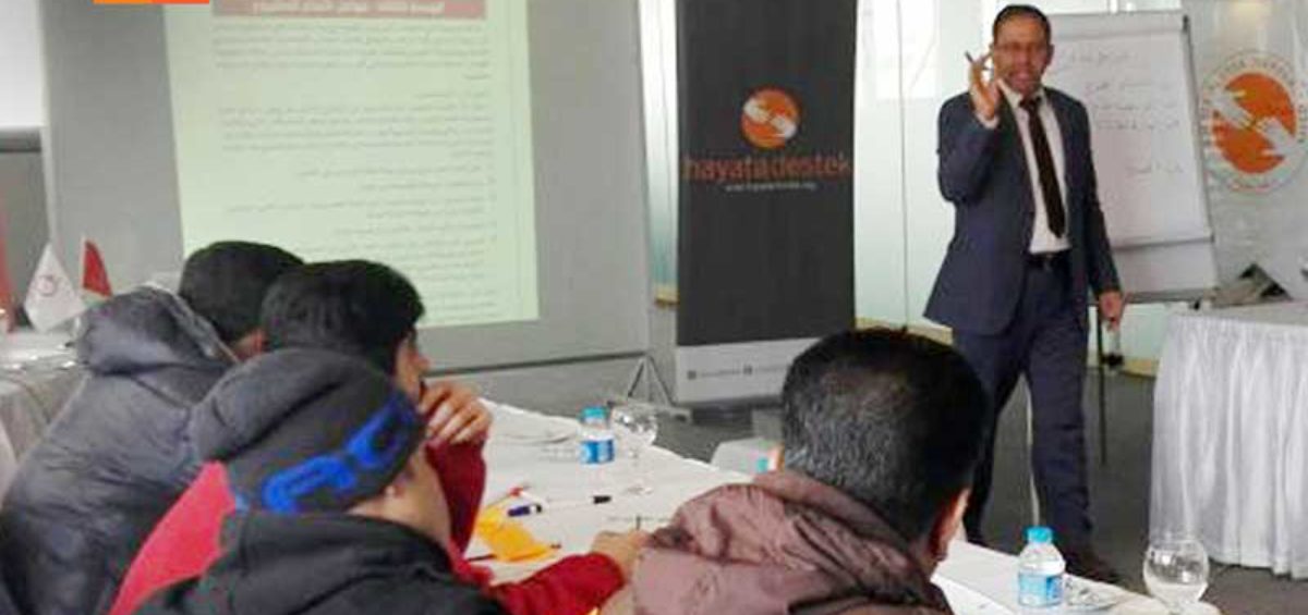
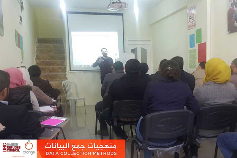
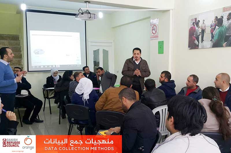
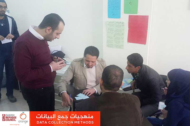
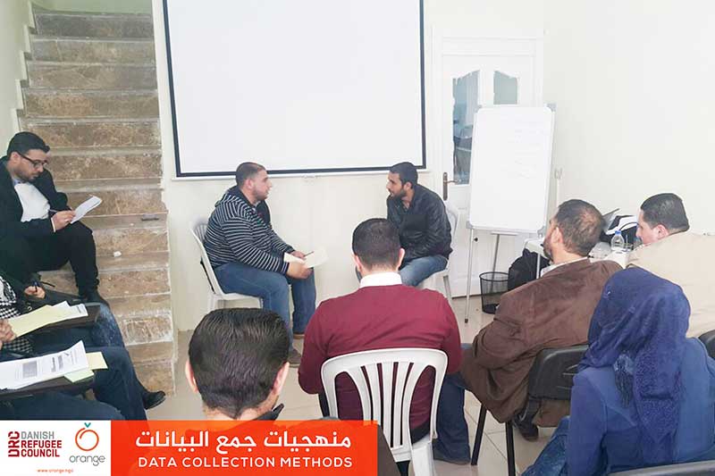
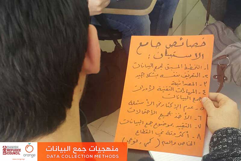
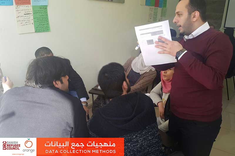
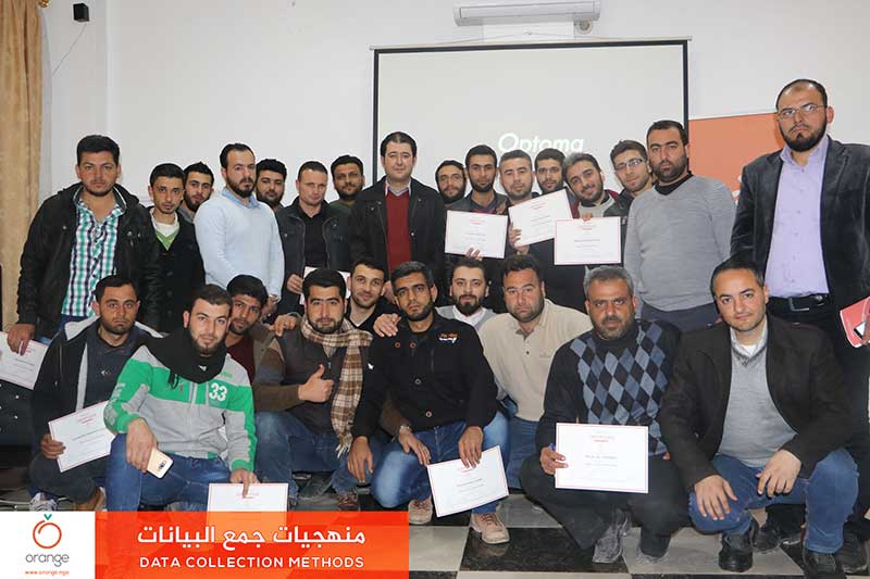
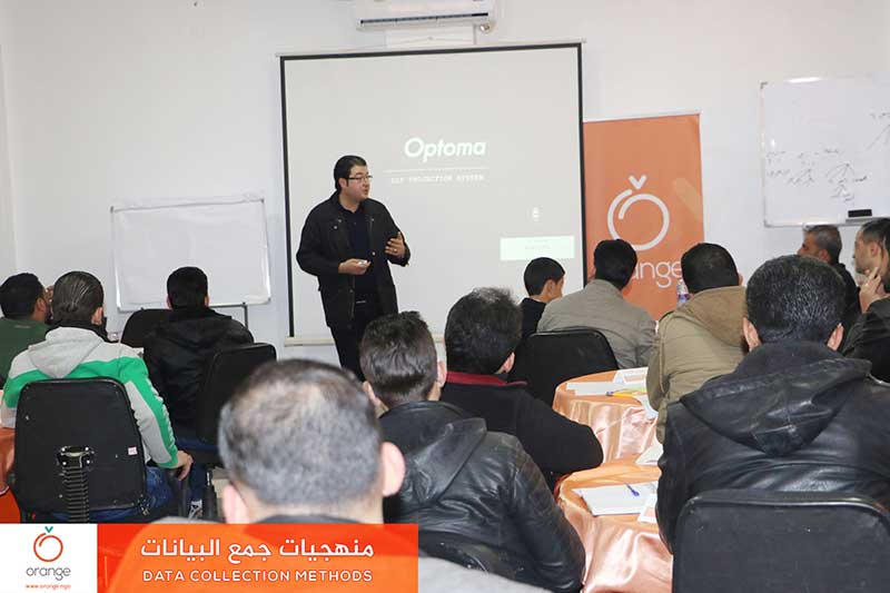
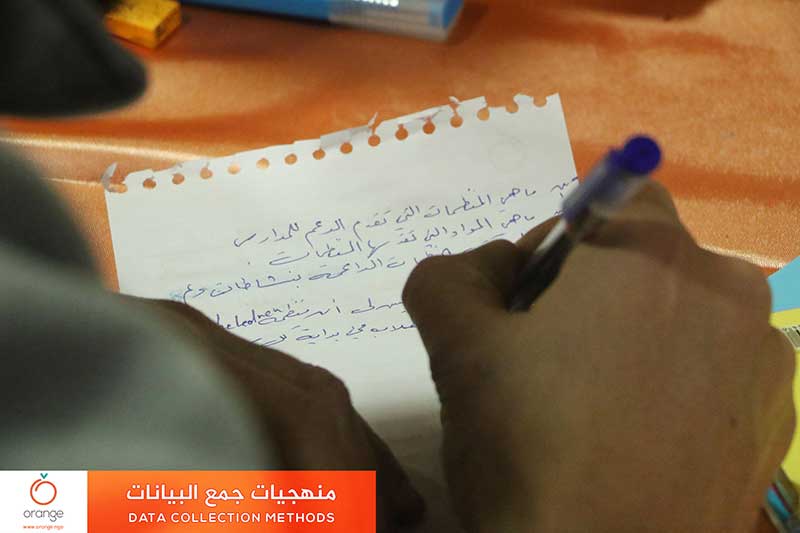
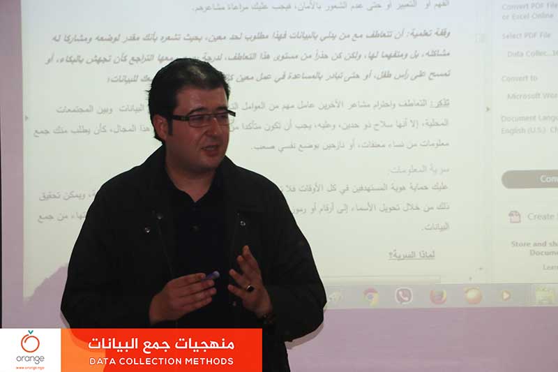
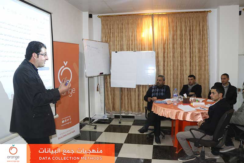
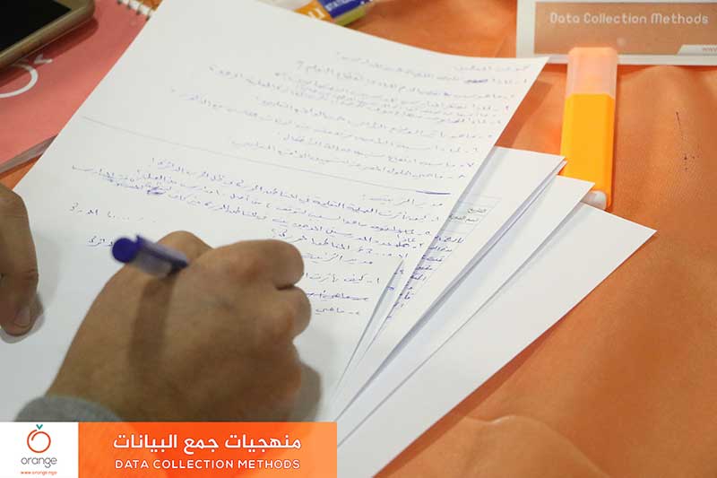
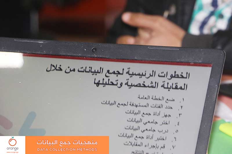
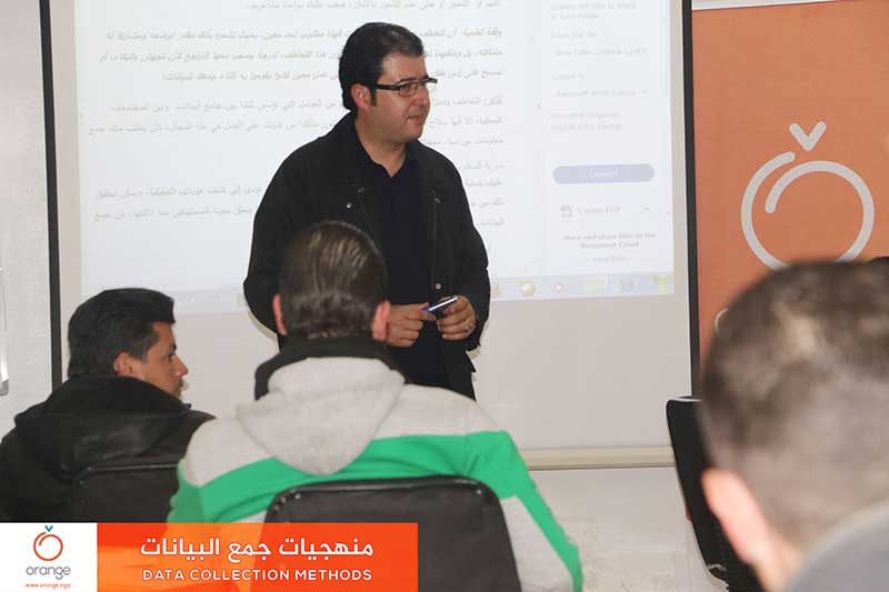
To achieve the hoped impact of humanitarian work, through needs assessment relying on the accurately collected data, following the best standards and ways. So, “Orange” in cooperation with the Danish Refugee Council DRC, finished a training program entitled “Data Collection Methods”, Which continued throughout three days of training, with participation of 23 trainees, Urfa, Turkey.
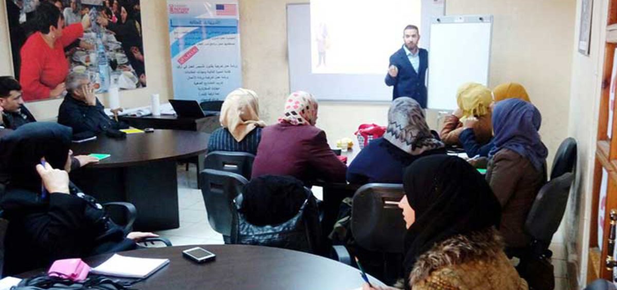
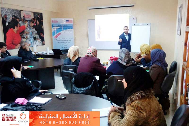
Within the framework of “Livelihood projects support”, which aims to raise the standard of living for the Syrian families in foreign countries. Orange in cooperation with “Danish Refugee Council DRC”, finished a training program entitled “Home Based Business Management”, which aimed to enable families of having a source of sufficient income to meet their needs.Read more
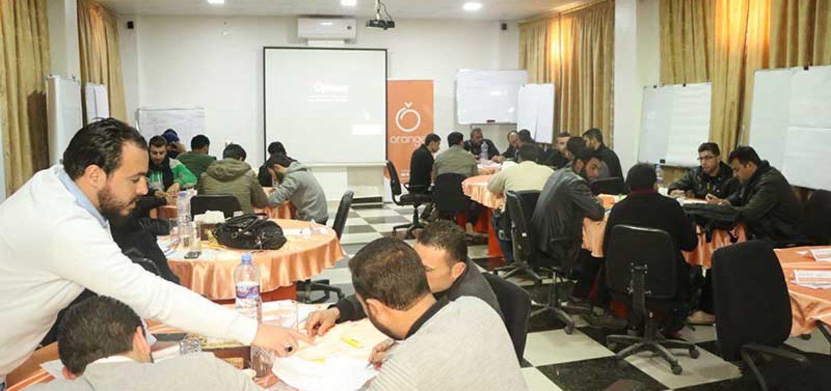
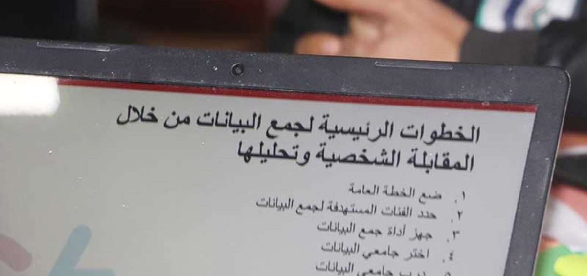
Aiming to achieve an accurate assessment for humanitarian needs of community, increasing effectiveness of humanitarian work and accomplish a strategic collection for data. Orange finished today a training program entitled “Data Collection Methods”, which aimed to enable the data collectors and enumerators of achieving transparent methods in work. This training was through 4 days, withRead more
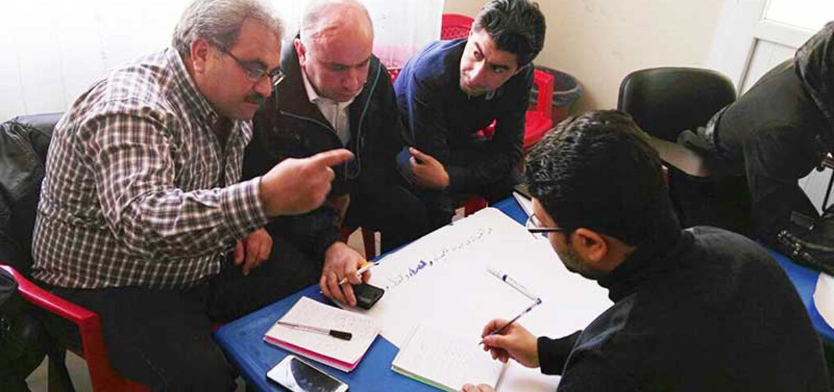
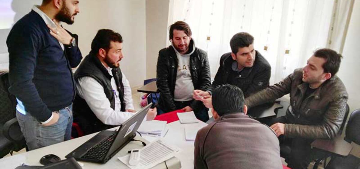
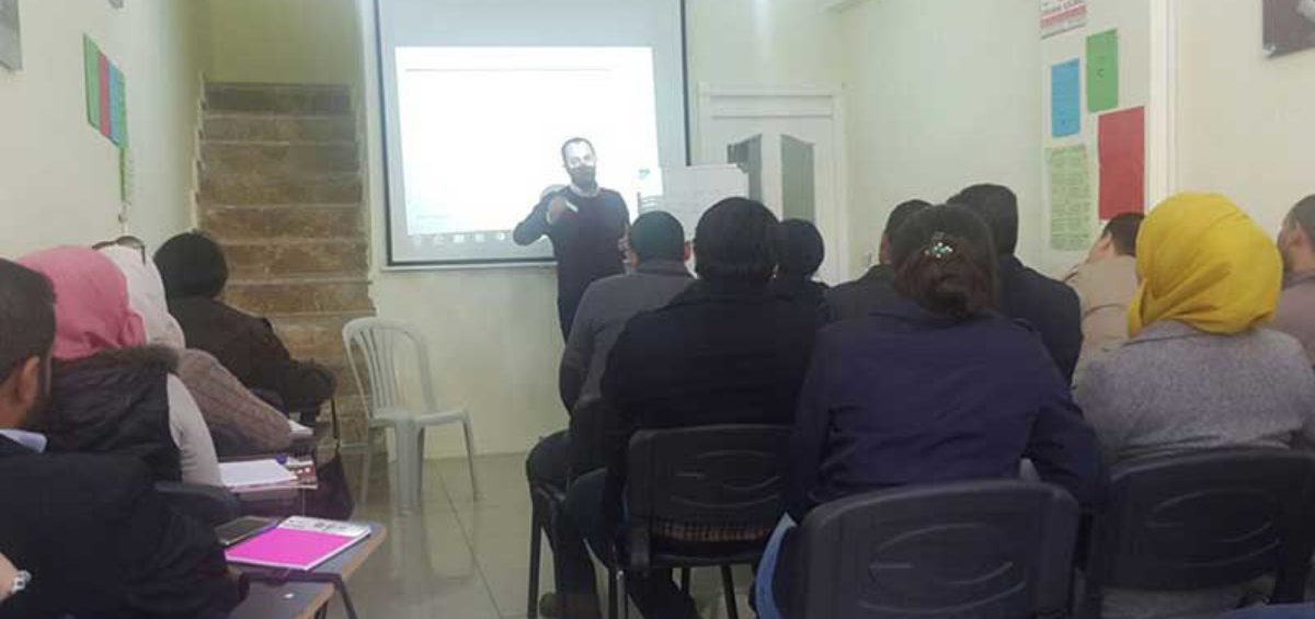
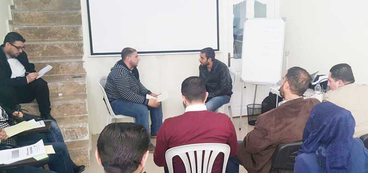
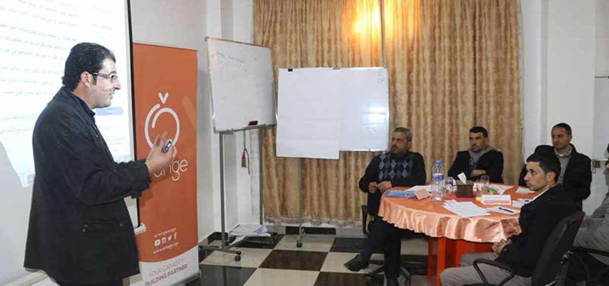
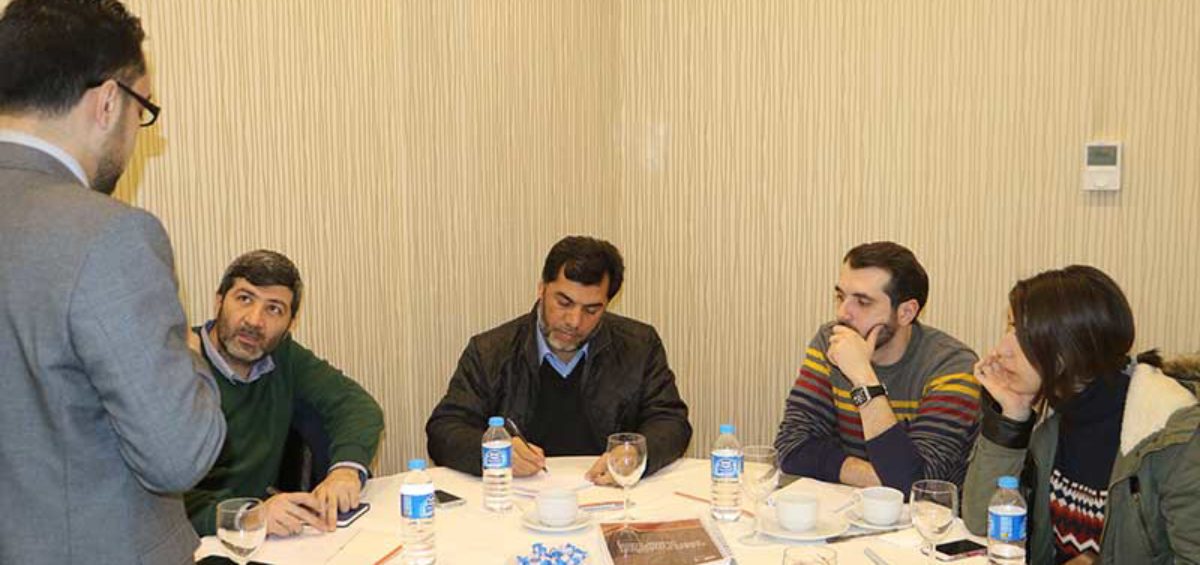
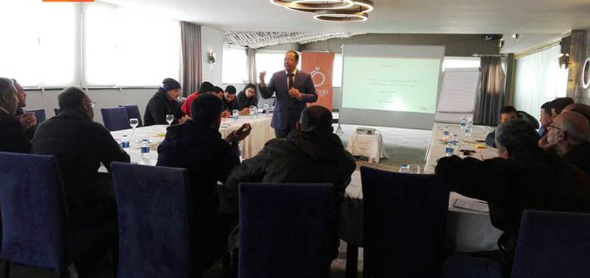
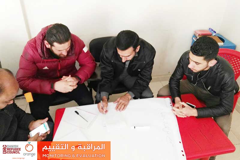
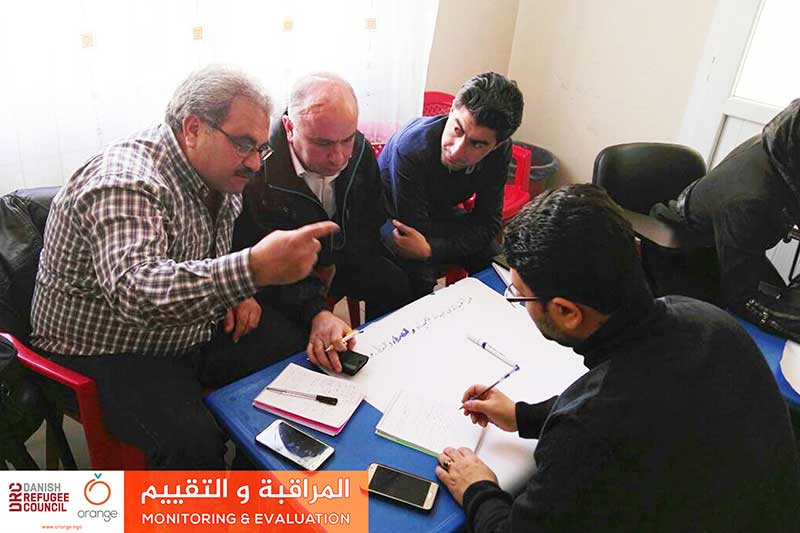
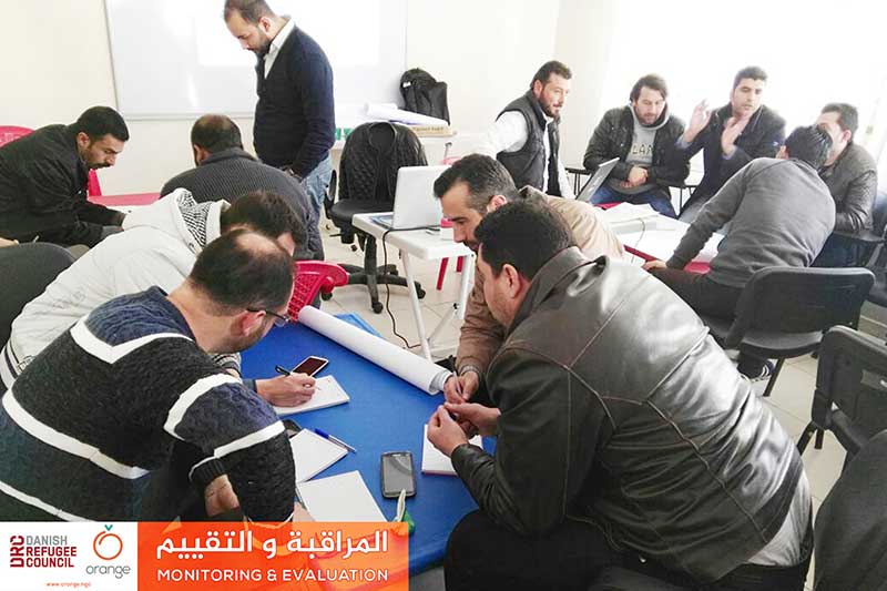
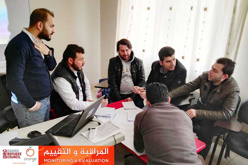
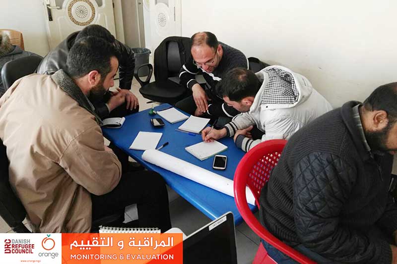
Monitoring and Evaluation processes are basic measurement tools in humanitarian projects success, to achieve its goals and implement the scheduled work plan. So, we had to increase these processes’ quality, through a training program entitled “Monitoring and Evaluation”. Orange concluded this training yesterday in cooperation with DRC organization. This training was on 3 days, withRead more
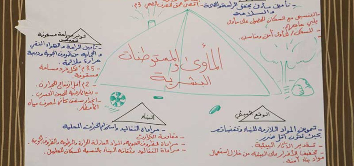
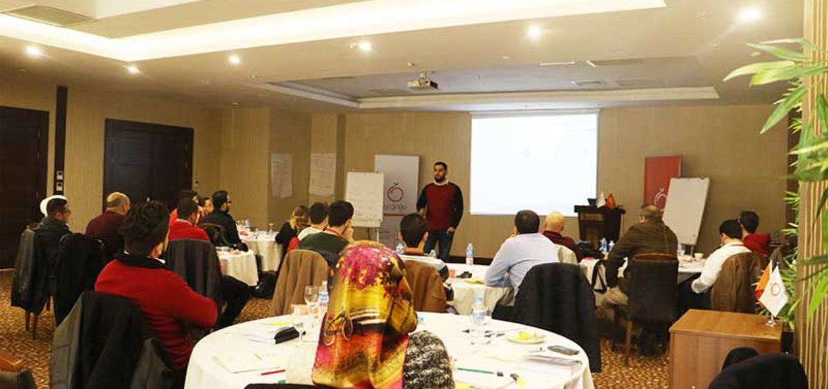
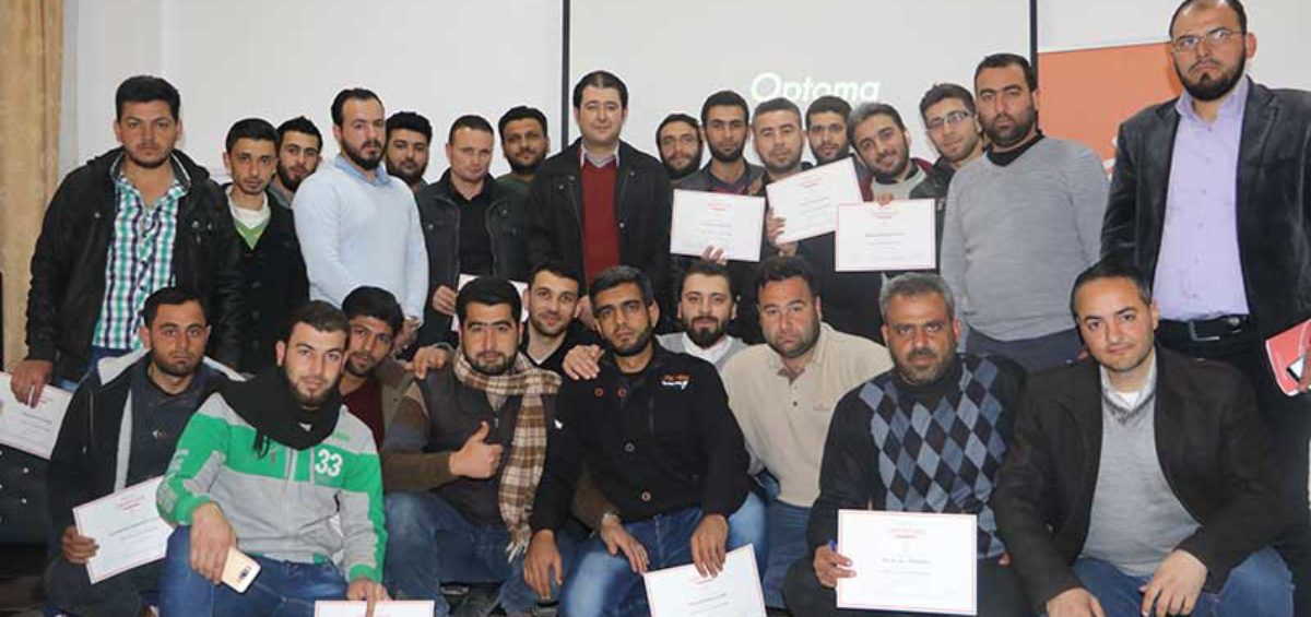
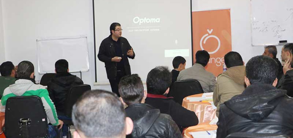
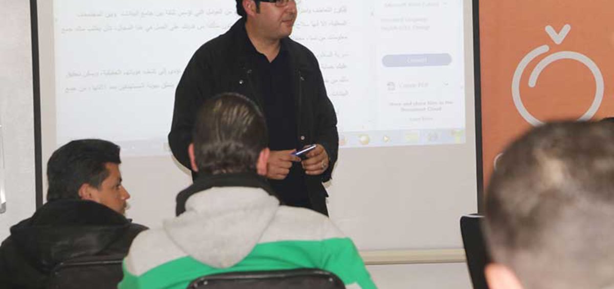
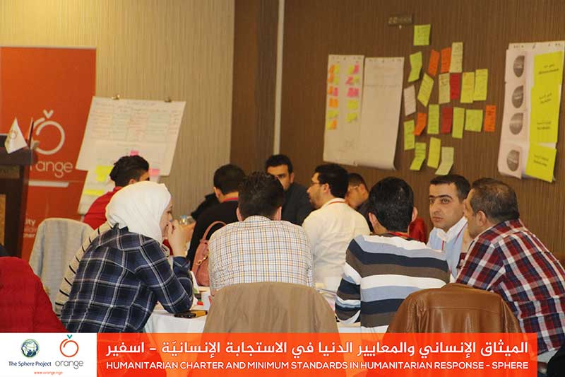
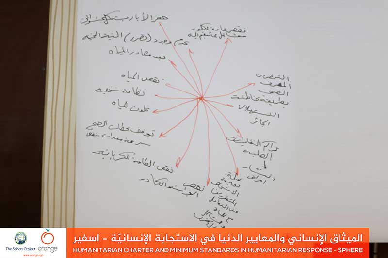
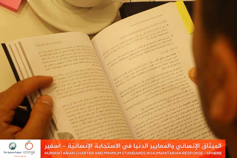
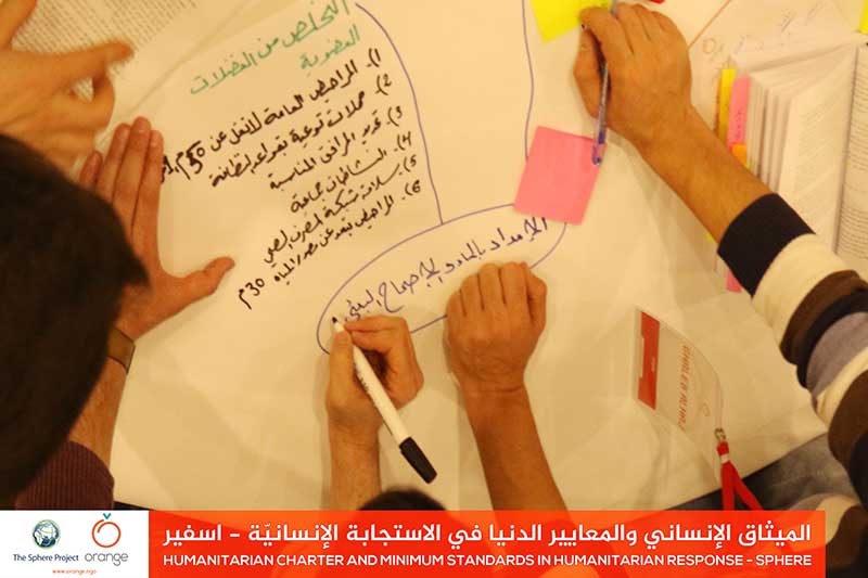
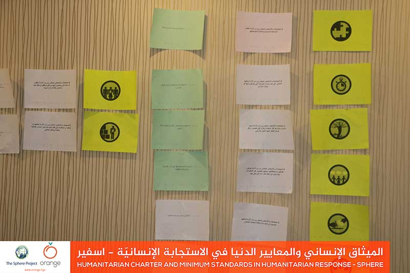
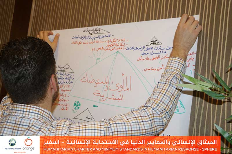
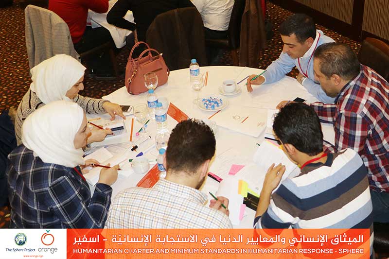
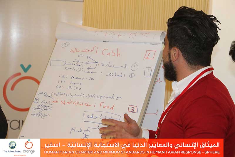
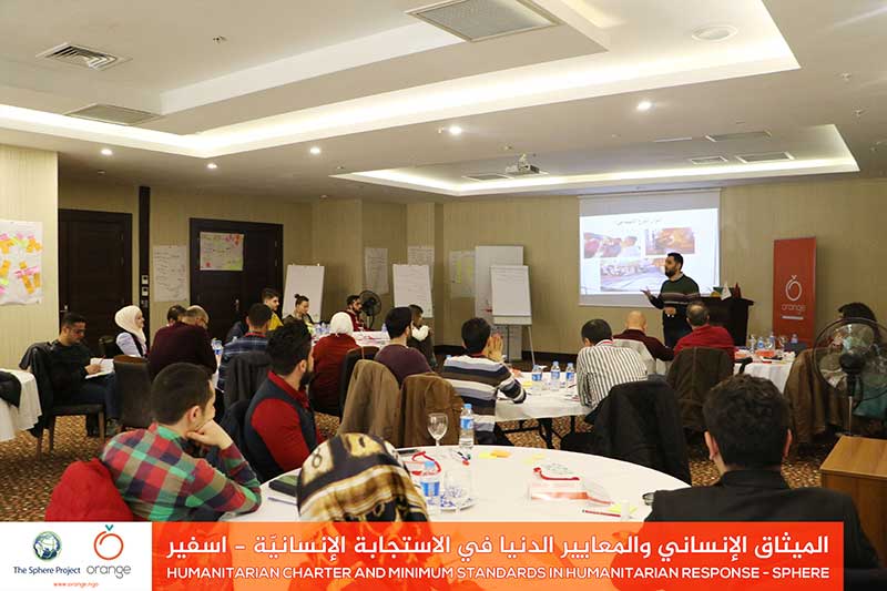
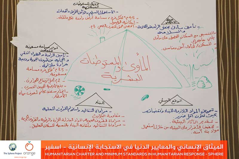
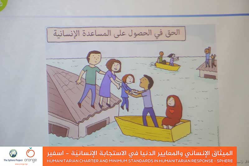
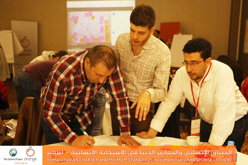
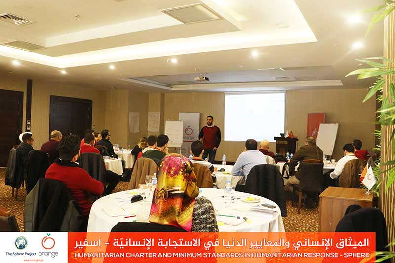
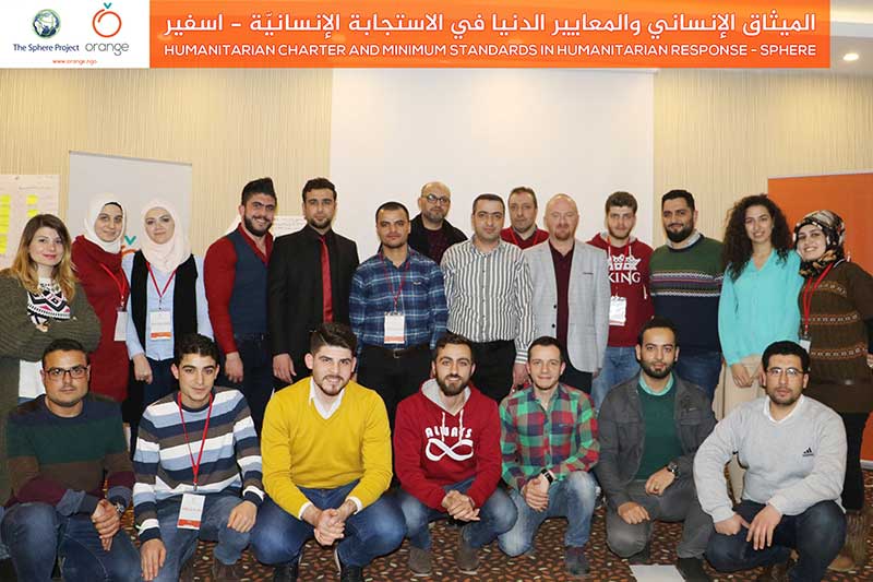
Because it’s our duty to build a better response, to face major threats, that our brothers in Syria are facing because of war and conflicts. Today Orange finished a training program entitled “SPHERE”, which studied the most important foundations of humanitarian work. This was through 3 training days, with participation of 23 trainees in Gaziantep,Read more
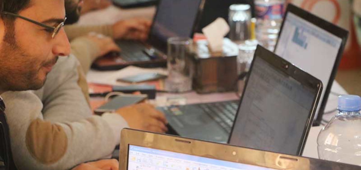
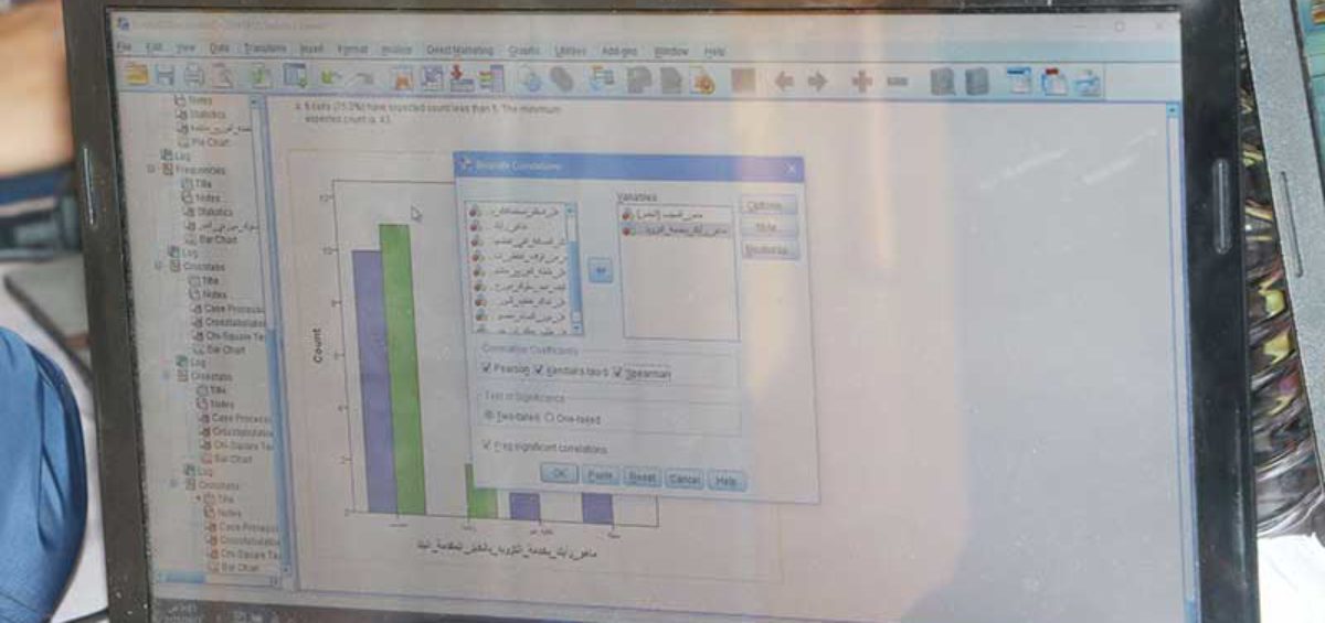
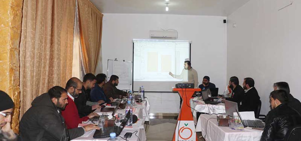
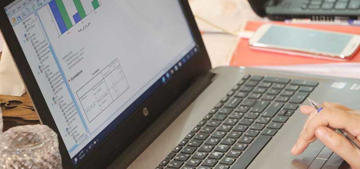
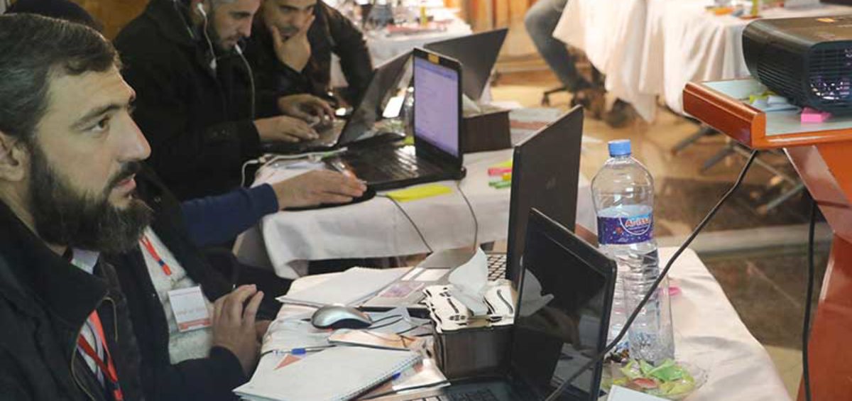
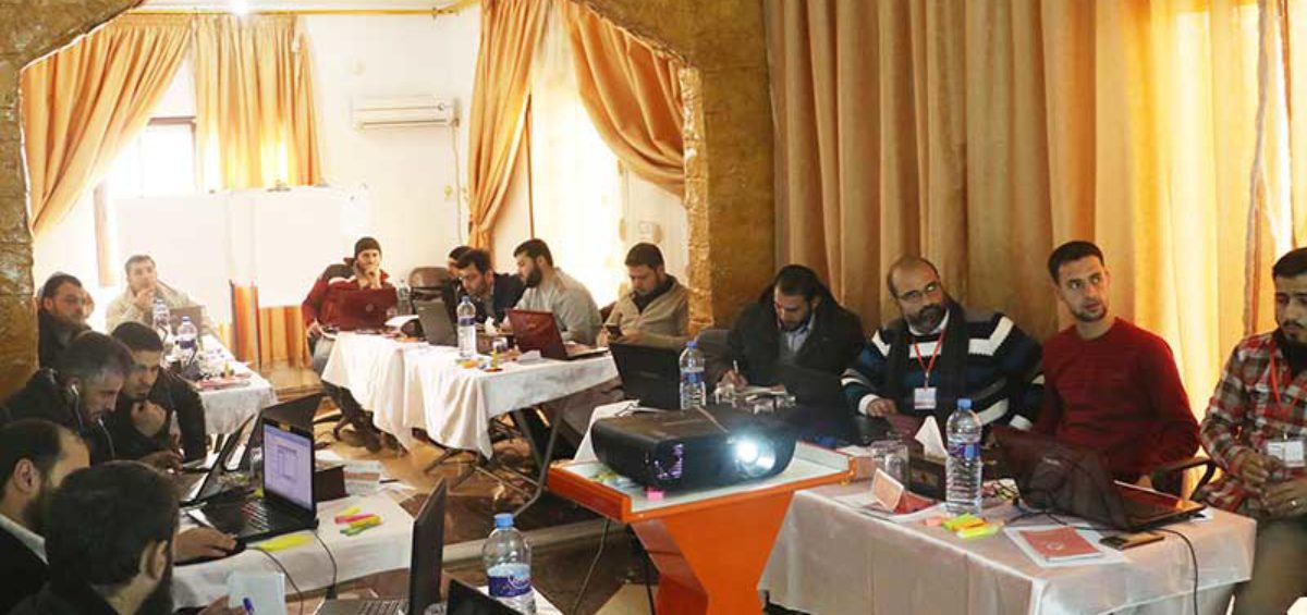
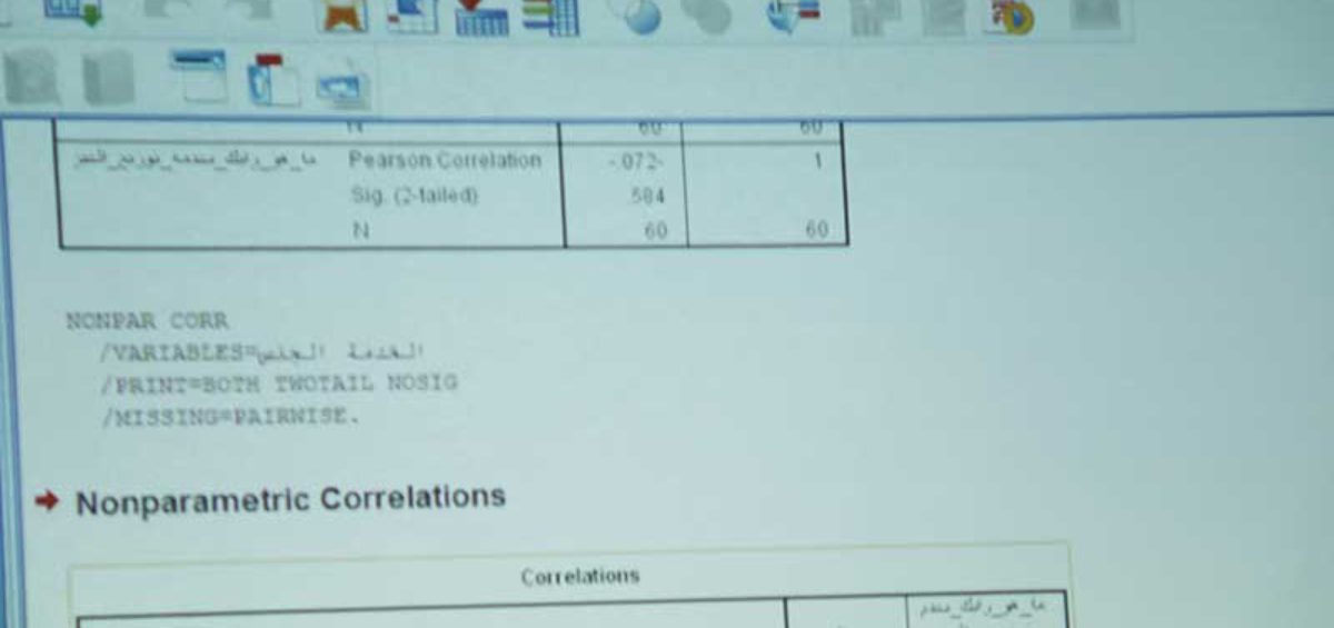
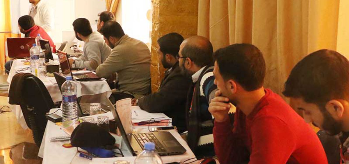


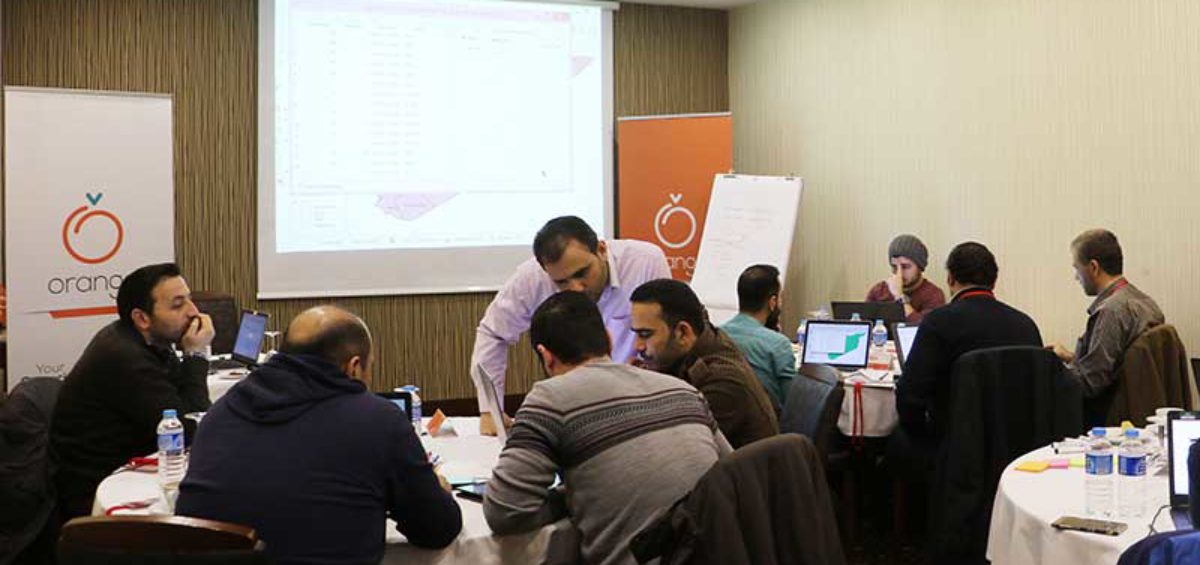
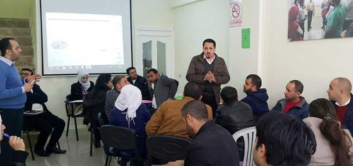
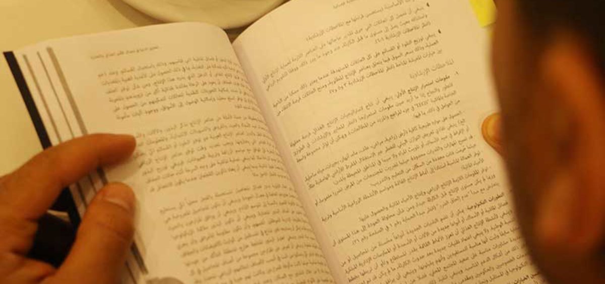
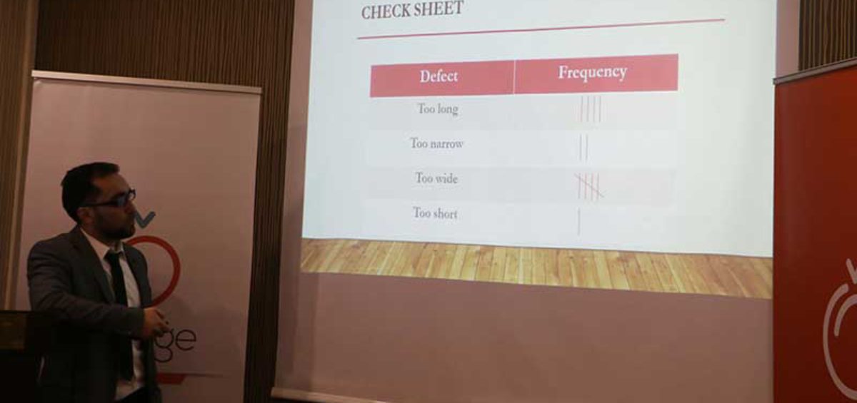
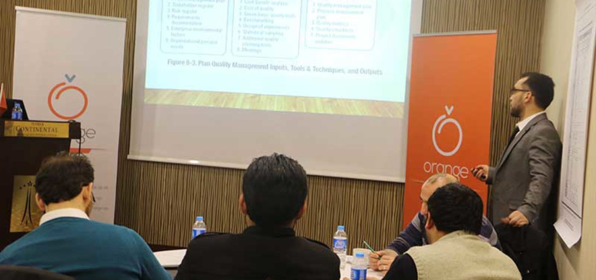
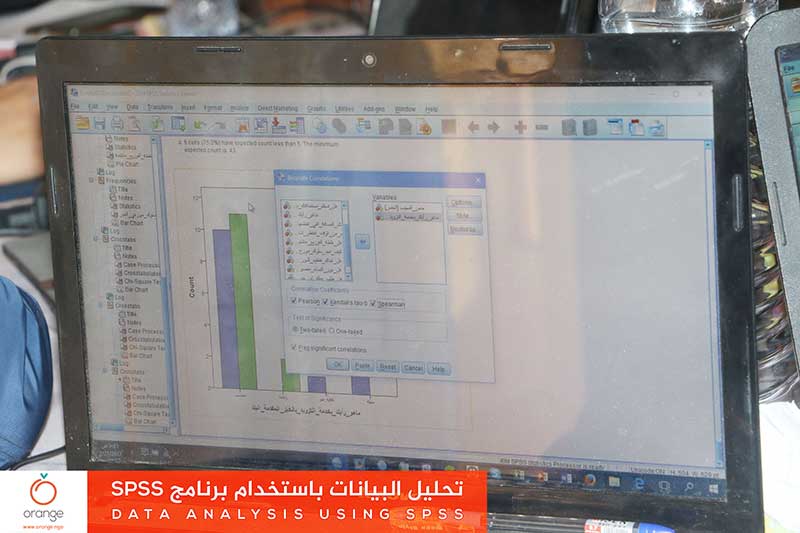
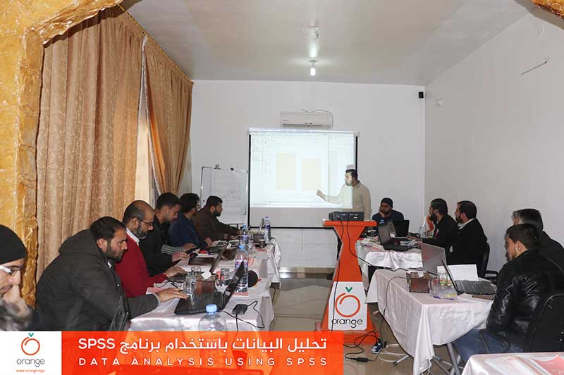
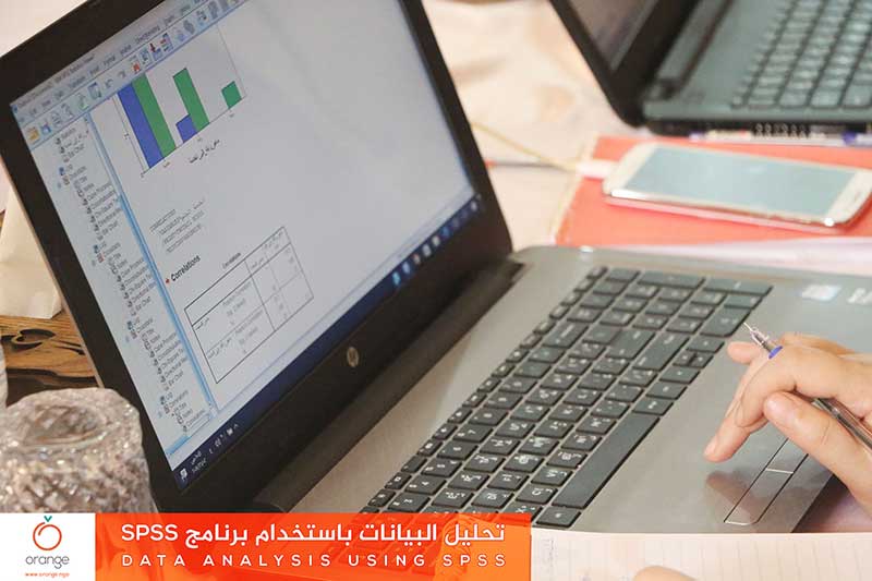
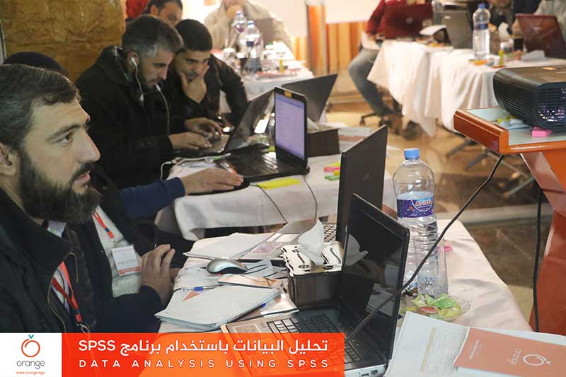
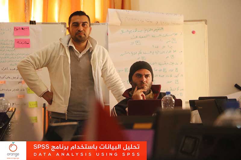
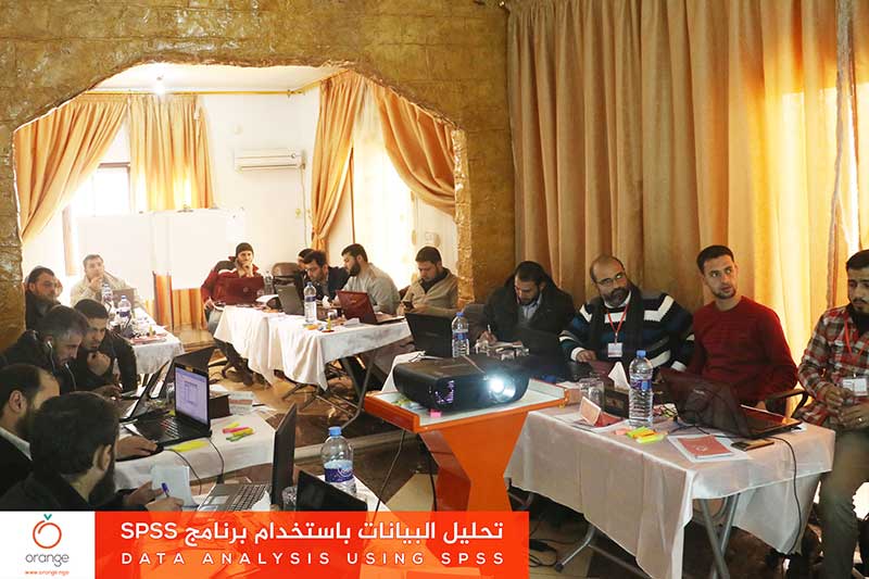
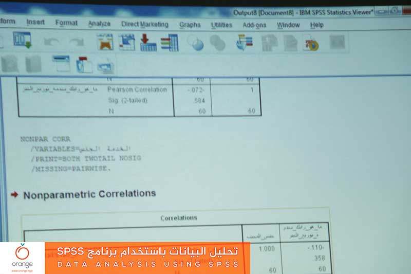
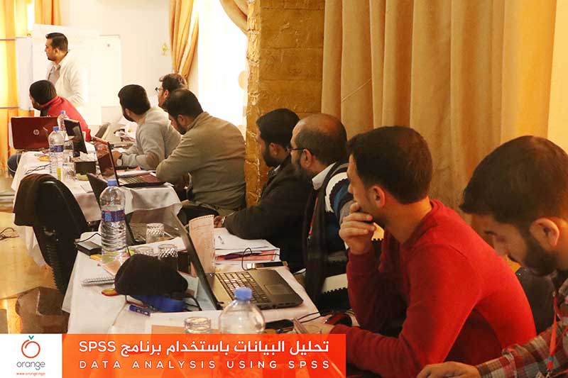
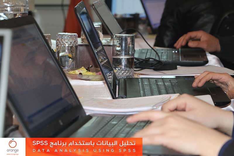
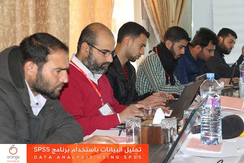
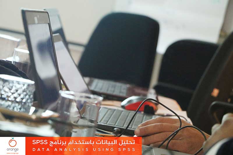
Starting from the importance of analysis to determine humanitarian needs and achieve results. Orange finished a training program entitled “Data Analysis using SPSS”, which aimed to enhance trainees’ skills, in the field of analyzing and reviewing collected data through SPSS statistical analysis program. This training took a place through 4 training days, with participation ofRead more
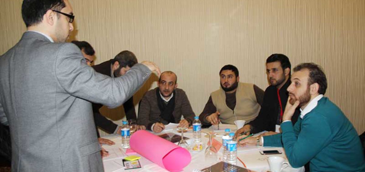
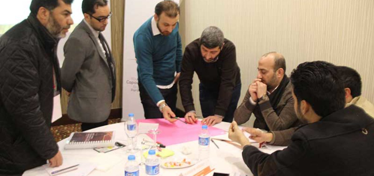
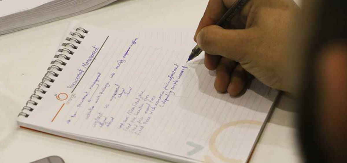
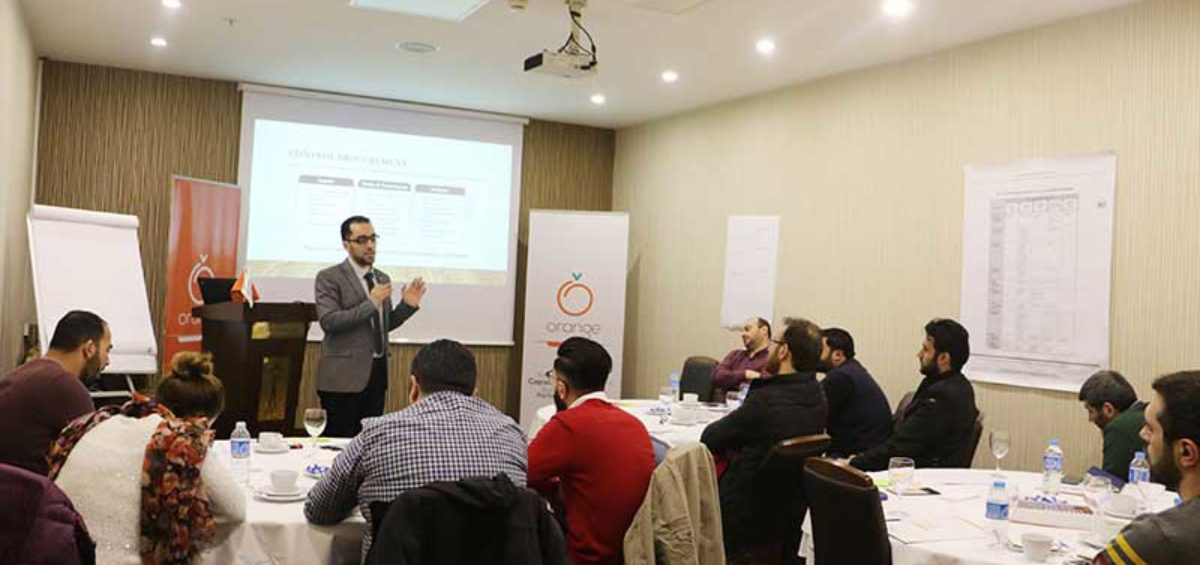
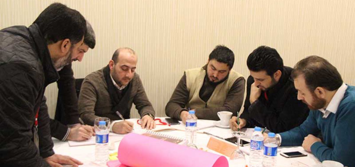
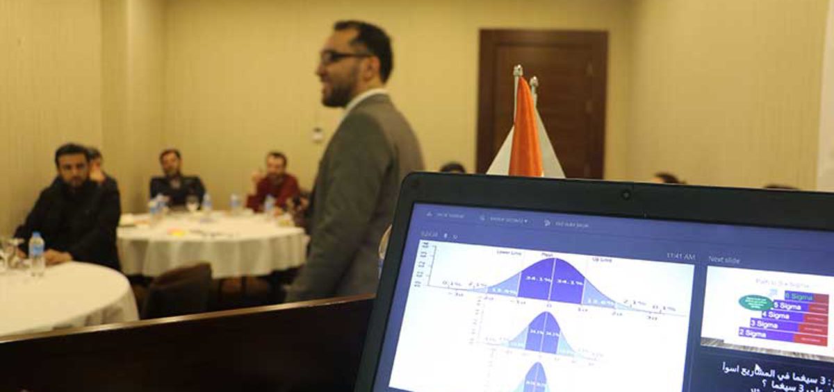
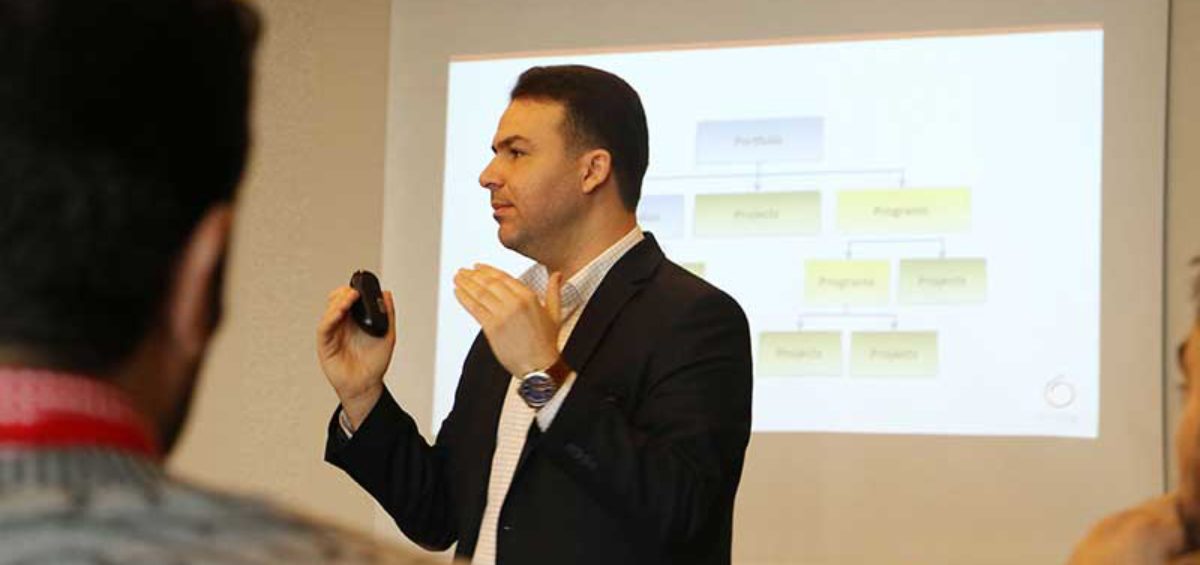
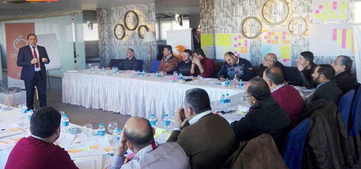
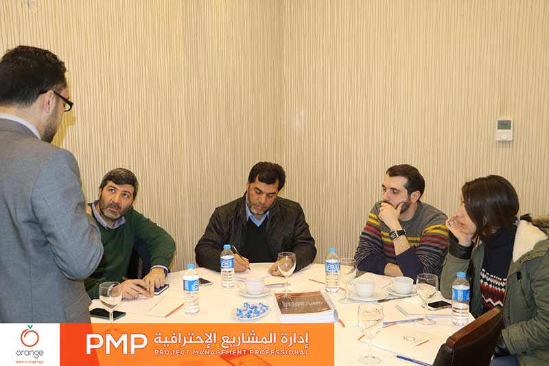
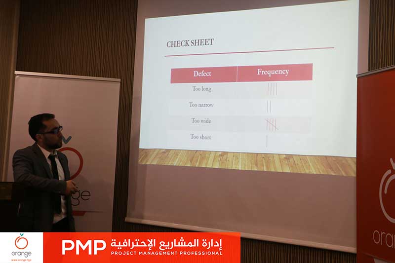
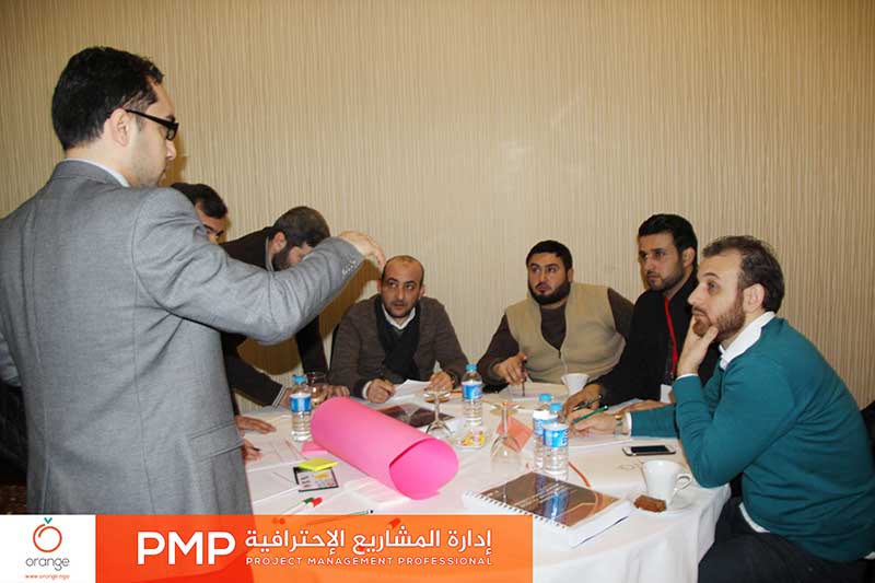
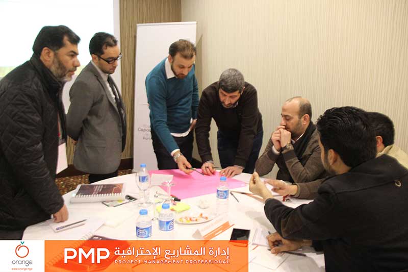
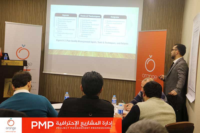
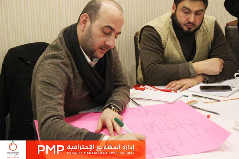
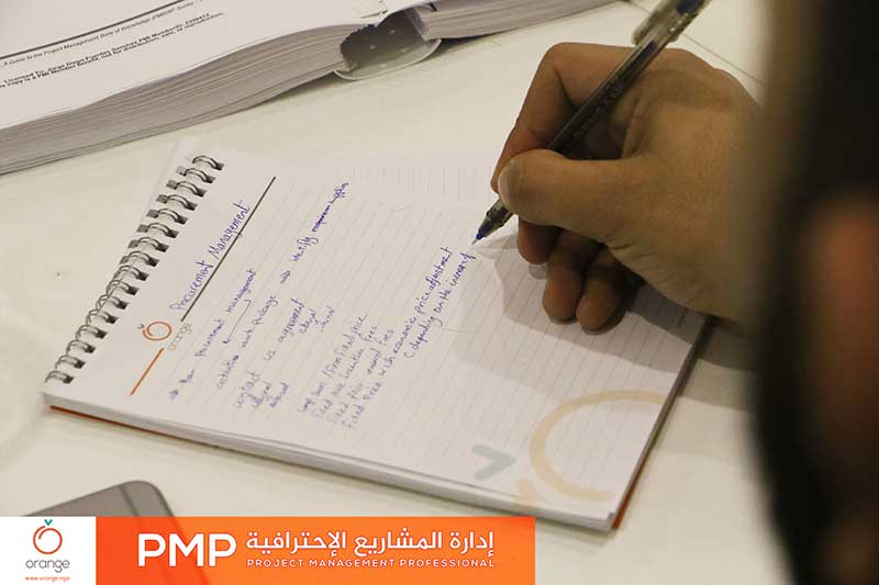
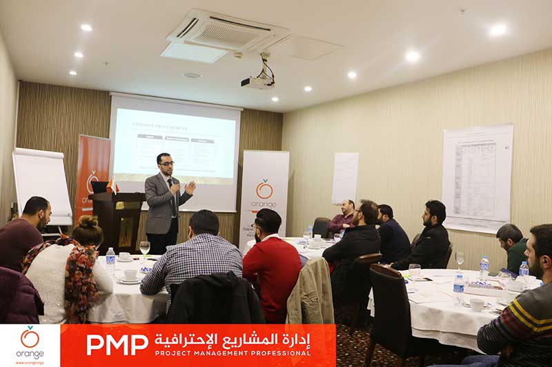
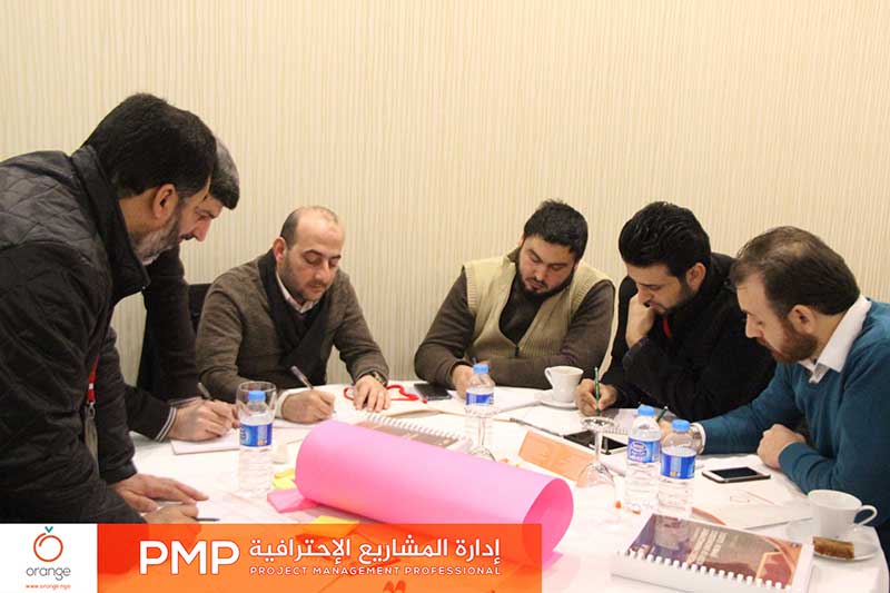
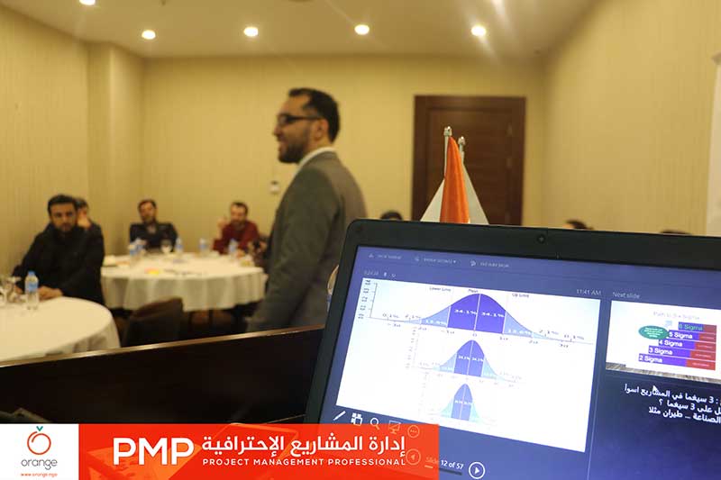
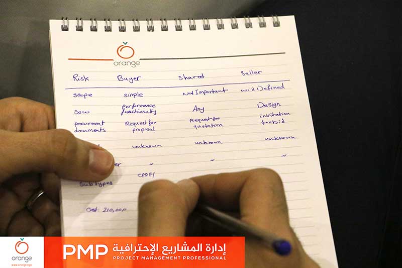
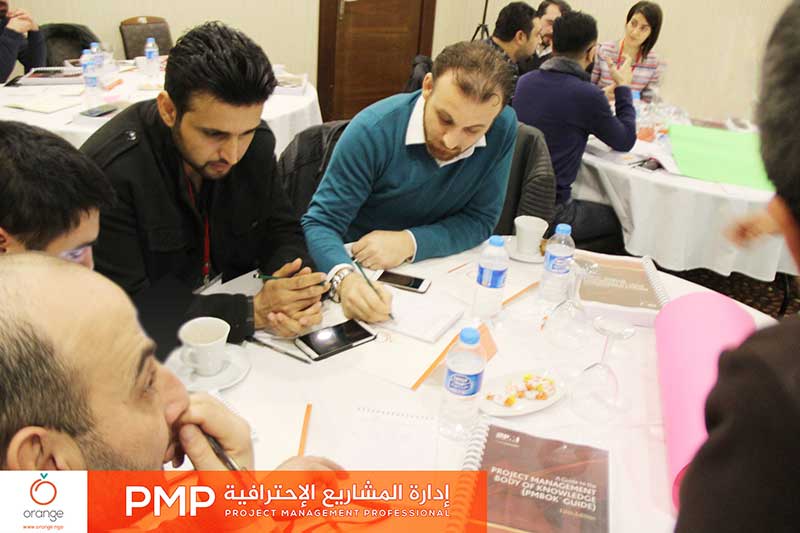
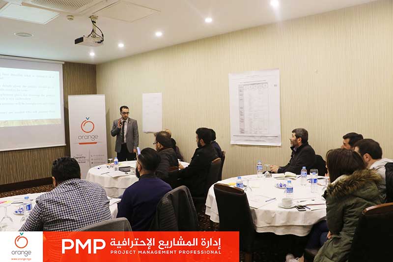
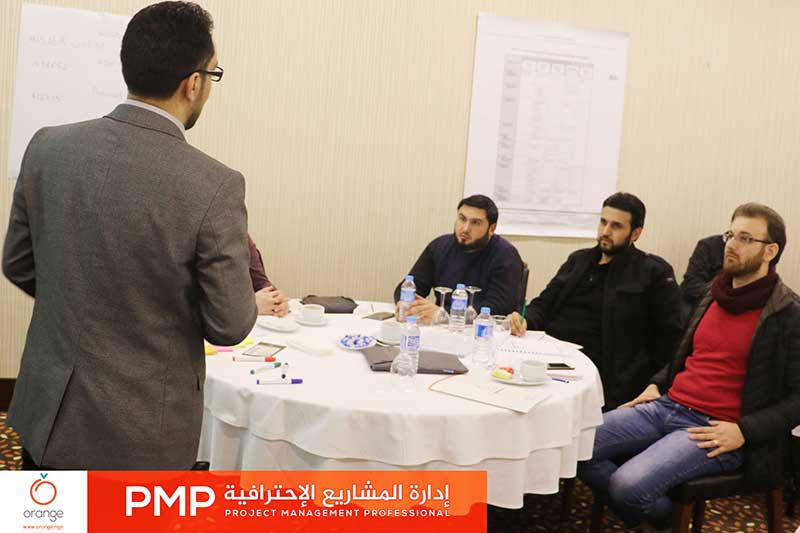
Starting from the importance of Professional Project Management, to identify a standard strategy and global foundations, which provide project’s success within available terms, without a change in the scope of work. Orange today finished “PMP: Project Management Professional” training, through 40 raining hours. Aiming to qualify trainees to take the PMP exam, to get theRead more
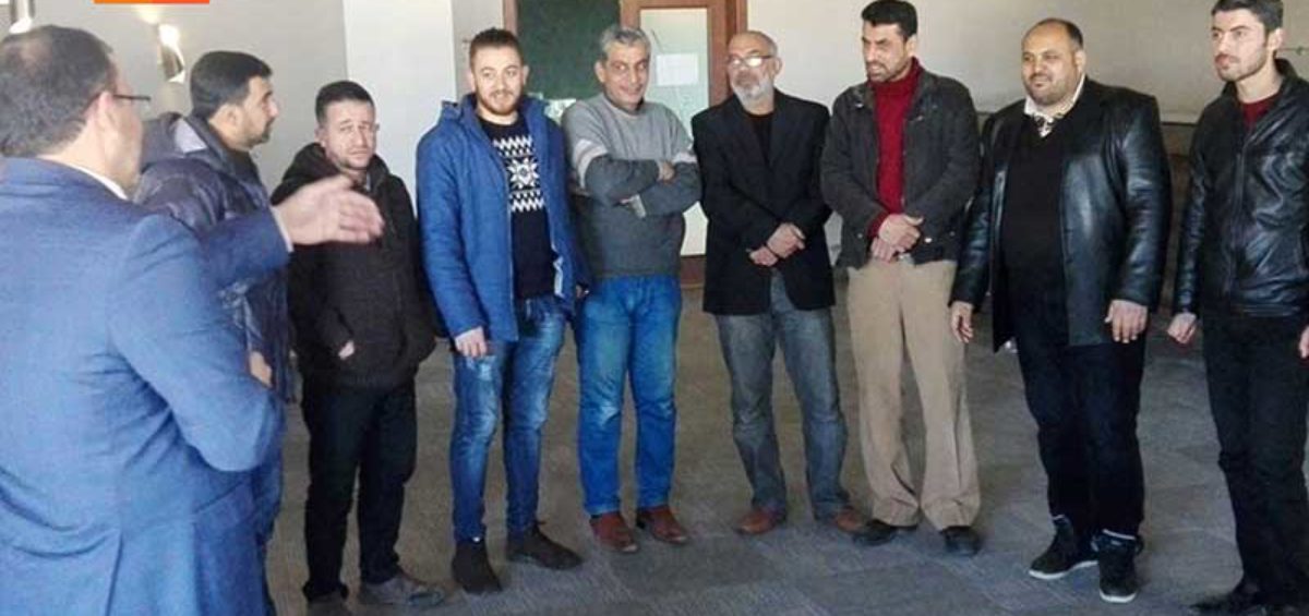
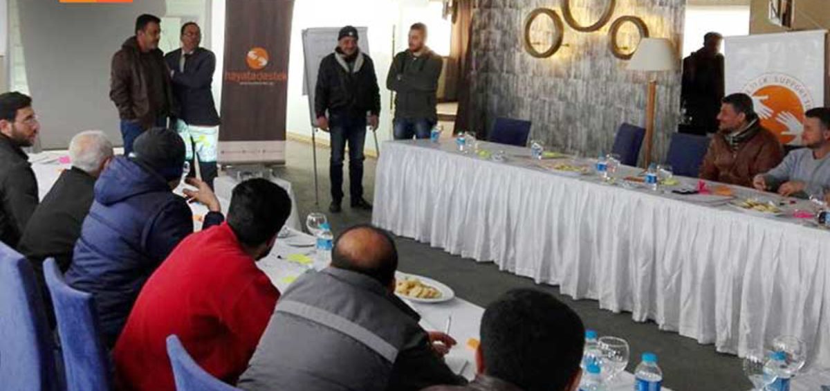
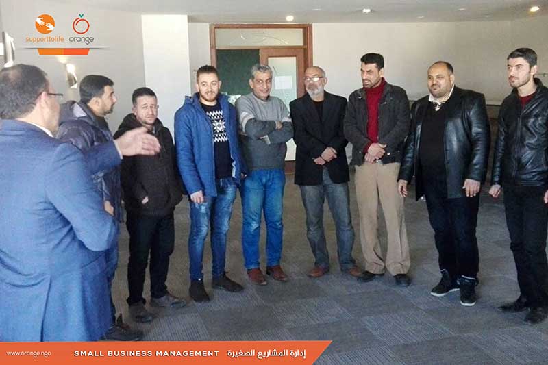
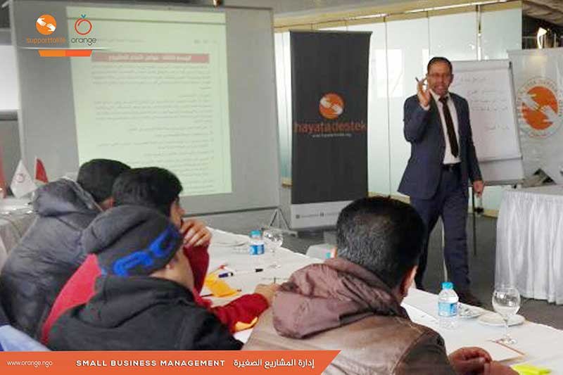
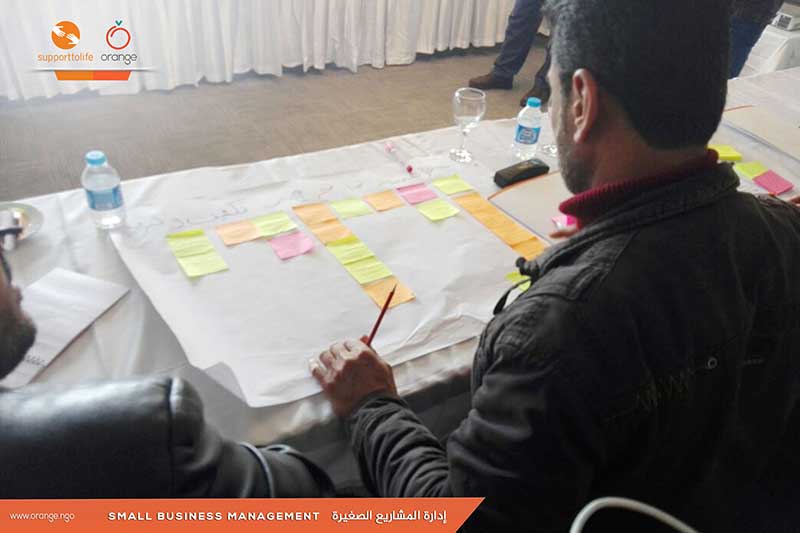
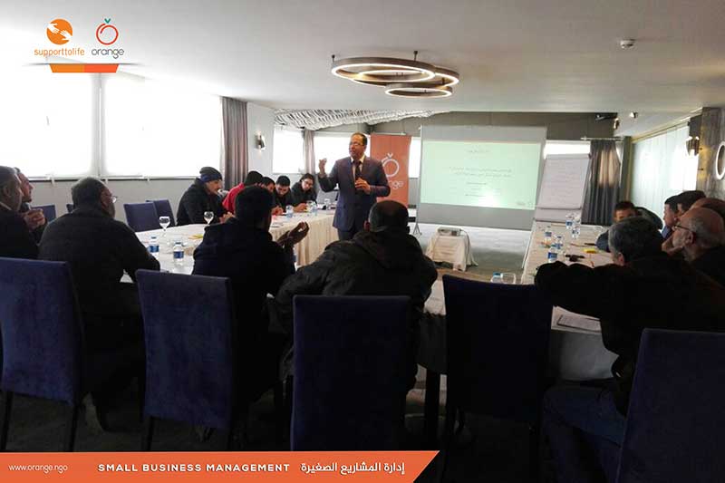
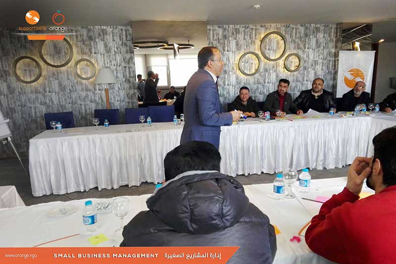
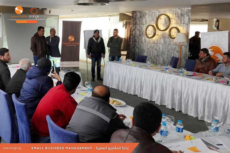
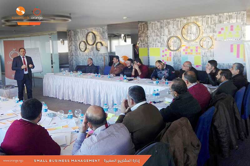
To support the development of migrated Syrians’ life, by starting their own businesses and small projects, also enabling them of having a source of income. “Orange” in cooperation with “Life Support Organization”, started two training programs entitled “Small Business Management”, in Antakia and Urfa, within Turkey. Both will discuss the planning stages of small projectsRead more


Recent Comments